Kabala night lights from space
Night Light of Kabala (Northern Province) from space (Sierra Leone) Src. Average luminocity for 10x10km area is 0% and for 50x50km: 0%.
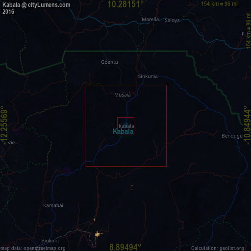
Analysis of Kabala night lights 2016
Square area 10x10 km:
 0%
0%90-99
0%80-89
0%70-79
0%60-69
0%50-59
0%40-49
0%30-39
0%20-29
0%10-19
0%0-9
100%Square area 50x50 km:
0%90-99
0%80-89
0%70-79
0%60-69
0%50-59
0%40-49
0%30-39
0%20-29
0%10-19
0%0-9
100%Clear (daylight) street map image can be seen on geolist.org.
Map coordinates:
10° 16' 53.4" North, 12° 15' 20.5" West
9° 35' 20.1" North, 11° 33' 9.2" West
8° 53' 41.8" North, 10° 50' 58" West
Some cities around Kabala sort by population:
• Makeni
95 km =59 mi,  214°
214°
• Mamou, GN
105.5 km =65.6 mi,  325°
325°
• Magburaka
105.6 km =65.6 mi,  204°
204°
• Binkolo
84.9 km =52.8 mi, 213°
• Yengema
105.9 km =65.8 mi,  156°
156°
• Faranah, GN
101.9 km =63.3 mi,  60°
60°
• Kamakwie
76.1 km =47.3 mi,  262°
262°
• Masingbi
99.9 km =62.1 mi, 206°
2408329 (p: 17,948)
Sources (retrieved 2019-11-25):
» Earth at Night: Flat Maps 2012, 2016