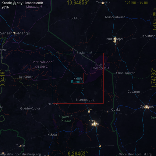
Kandé night lights from space
Night Light of Kandé (Kara) from space (Togo) Src. Average luminocity for 10x10km area is 0% and for 50x50km: 0.0322%.
Analysis of Kandé night lights 2016
Square area 10x10 km:
 0%
0%90-99
0%80-89
0%70-79
0%60-69
0%50-59
0%40-49
0%30-39
0%20-29
0%10-19
0%0-9
100%Square area 50x50 km:
0%90-99
0%80-89
0%70-79
0%60-69
0%50-59
0%40-49
0%30-39
0.03%20-29
0.07%10-19
0%0-9
99.9%Clear (daylight) street map image can be seen on geolist.org.
Map coordinates:
10° 38' 58.4" North, 0° 20' 29.8" East
9° 57' 28" North, 1° 2' 41" East
9° 15' 52.3" North, 1° 44' 52.3" East
Some cities around Kandé sort by population:
• Djougou, BJ
73.5 km =45.7 mi,  112°
112°
• Kara
47.8 km =29.7 mi,  161°
161°
• Natitingou, BJ
53.2 km =33.1 mi,  43°
43°
• Sansanné-Mango
77.1 km =47.9 mi,  305°
305°
• Niamtougou
22.1 km =13.7 mi, 162°
• Bafilo
71.8 km =44.6 mi, 160°
• Tanguiéta, BJ
77.7 km =48.3 mi,  18°
18°
• Pagouda
38.5 km =23.9 mi,  126°
126°
2366168 (p: 11,466)
Sources (retrieved 2019-11-25):
» Earth at Night: Flat Maps 2012, 2016