Bouna night lights from space
Night Light of Bouna (Zanzan) from space (Ivory Coast) Src. Average luminocity for 10x10km area is 11.6645% and for 50x50km: 0.585%.
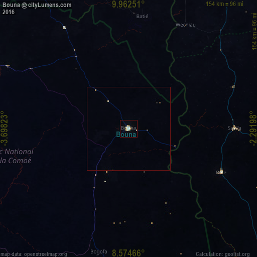
Analysis of Bouna night lights 2016
Square area 10x10 km:
 2.16%
2.16%90-99
2.16%80-89
1.95%70-79
2.81%60-69
0%50-59
0.43%40-49
1.08%30-39
1.08%20-29
0%10-19
0.87%0-9
87.45%Square area 50x50 km:
0.08%90-99
0.08%80-89
0.12%70-79
0.15%60-69
0%50-59
0.02%40-49
0.09%30-39
0.06%20-29
0.03%10-19
0.04%0-9
99.32%Clear (daylight) street map image can be seen on geolist.org.
Map coordinates:
9° 57' 45" North, 3° 41' 53.6" West
9° 16' 9.4" North, 2° 59' 42.4" West
8° 34' 28.8" North, 2° 17' 31.1" West
Some cities around Bouna sort by population:
• Japekrom, GH
189.7 km =117.9 mi,  173°
173°
• Wa, GH
103.3 km =64.2 mi,  31°
31°
• Bondoukou
138.3 km =85.9 mi, 171°
• Kintampo, GH
193.7 km =120.4 mi,  134°
134°
• Tanda
164.1 km =102 mi,  186°
186°
• Dabakala
187 km =116.2 mi,  237°
237°
• Diébougou, BF
190.3 km =118.2 mi,  351°
351°
• Batié, BF
68.8 km =42.8 mi,  7°
7°
2290849 (p: 23,570)
Sources (retrieved 2019-11-25):
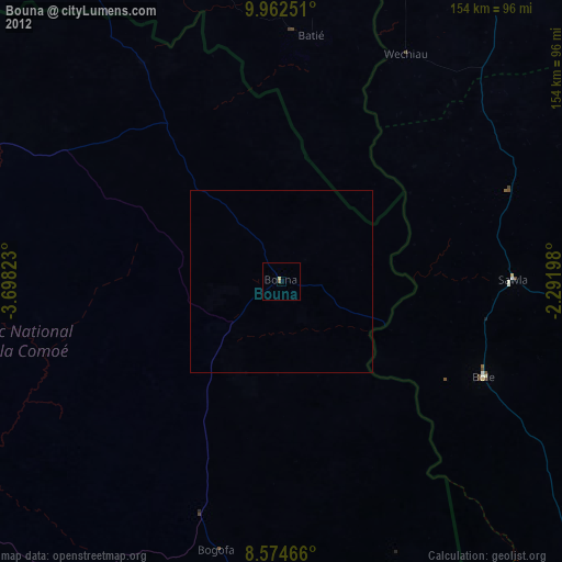
» Earth at Night: Flat Maps 2012, 2016