Techiman night lights from space
Night Light of Techiman (Brong-Ahafo) from space (Ghana) Src. Average luminocity for 10x10km area is 34.9697% and for 50x50km: 2.8242%.
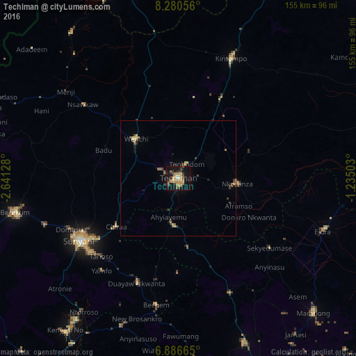
Analysis of Techiman night lights 2016
Square area 10x10 km:
 1.08%
1.08%90-99
2.6%80-89
4.11%70-79
12.77%60-69
7.79%50-59
4.98%40-49
4.76%30-39
4.98%20-29
4.76%10-19
38.53%0-9
13.64%Square area 50x50 km:
0.05%90-99
0.14%80-89
0.46%70-79
0.69%60-69
0.55%50-59
0.29%40-49
0.53%30-39
0.53%20-29
0.38%10-19
2.01%0-9
94.36%Clear (daylight) street map image can be seen on geolist.org.
Map coordinates:
8° 16' 50" North, 2° 38' 28.6" West
7° 35' 3" North, 1° 56' 17.3" West
6° 53' 11.9" North, 1° 14' 6.1" West
Some cities around Techiman sort by population:
• Ejura
67.9 km =42.2 mi,  108°
108°
• Sunyani
50.7 km =31.5 mi,  237°
237°
• Berekum
72.7 km =45.2 mi,  258°
258°
• Kintampo
57.3 km =35.6 mi,  23°
23°
• Mampong
83 km =51.6 mi,  134°
134°
• Wenchi
25.2 km =15.7 mi,  313°
313°
• Bechem
55.7 km =34.6 mi,  189°
189°
• Duayaw-Nkwanta
48.9 km =30.4 mi,  201°
201°
2294727 (p: 69,720)
Sources (retrieved 2019-11-25):
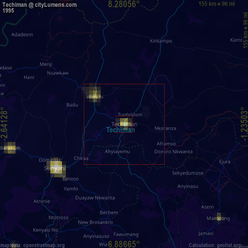
» NASA, Earths city lights 1995
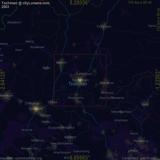
» NASA city lights 2003
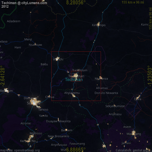
» Earth at Night: Flat Maps 2012, 2016