Mampong night lights from space
Night Light of Mampong (Ashanti) from space (Ghana) Src. Average luminocity for 10x10km area is 13.4957% and for 50x50km: 1.8722%.
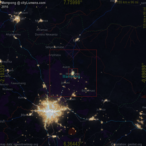
Analysis of Mampong night lights 2016
Square area 10x10 km:
 0%
0%90-99
0.22%80-89
3.68%70-79
2.16%60-69
0.87%50-59
3.46%40-49
4.33%30-39
2.38%20-29
0.65%10-19
4.55%0-9
77.71%Square area 50x50 km:
0%90-99
0.03%80-89
0.28%70-79
0.21%60-69
0.16%50-59
0.47%40-49
0.79%30-39
0.56%20-29
0.3%10-19
0.51%0-9
96.69%Clear (daylight) street map image can be seen on geolist.org.
Map coordinates:
7° 45' 35.9" North, 2° 6' 11.6" West
7° 3' 45.8" North, 1° 24' 0.4" West
6° 21' 51.9" North, 0° 41' 49.1" West
Some cities around Mampong sort by population:
• Kumasi
48.4 km =30.1 mi,  210°
210°
• Ejura
36.2 km =22.5 mi,  7°
7°
• Techiman
83 km =51.6 mi,  314°
314°
• Tafo
43.7 km =27.2 mi, 212°
• Konongo
53.6 km =33.3 mi,  157°
157°
• Agogo
45.7 km =28.4 mi,  129°
129°
• Duayaw-Nkwanta
78.2 km =48.6 mi,  279°
279°
• Bechem
69 km =42.9 mi,  272°
272°
2298264 (p: 42,037)
Sources (retrieved 2019-11-25):
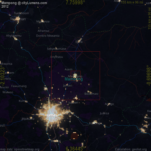
» Earth at Night: Flat Maps 2012, 2016