Sunyani night lights from space
Night Light of Sunyani (Brong-Ahafo) from space (Ghana) Src. Average luminocity for 10x10km area is 55.2944% and for 50x50km: 4.0914%.
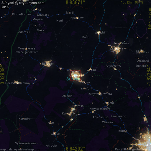
Analysis of Sunyani night lights 2016
Square area 10x10 km:
 2.81%
2.81%90-99
8.01%80-89
12.77%70-79
20.78%60-69
9.52%50-59
3.68%40-49
5.41%30-39
7.58%20-29
11.04%10-19
17.97%0-9
0.43%Square area 50x50 km:
0.11%90-99
0.33%80-89
0.76%70-79
1.1%60-69
0.56%50-59
0.37%40-49
0.61%30-39
0.71%20-29
0.84%10-19
3.27%0-9
91.34%Clear (daylight) street map image can be seen on geolist.org.
Map coordinates:
8° 2' 12.2" North, 3° 1' 47.6" West
7° 20' 23.7" North, 2° 19' 36.3" West
6° 38' 31.3" North, 1° 37' 25.1" West
Some cities around Sunyani sort by population:
• Japekrom
56.9 km =35.4 mi,  297°
297°
• Techiman
50.7 km =31.5 mi,  57°
57°
• Berekum
31 km =19.3 mi,  293°
293°
• Bondoukou, CI
93.7 km =58.2 mi,  326°
326°
• Wenchi
50.7 km =31.5 mi,  28°
28°
• Bibiani
97.5 km =60.6 mi,  179°
179°
• Bechem
43.3 km =26.9 mi,  129°
129°
• Duayaw-Nkwanta
31.1 km =19.3 mi, 126°
2295021 (p: 70,299)
Sources (retrieved 2019-11-25):
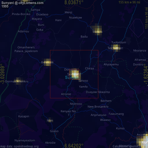
» NASA, Earths city lights 1995
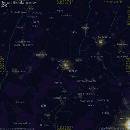
» NASA city lights 2003
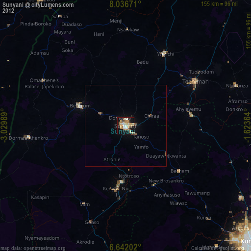
» Earth at Night: Flat Maps 2012, 2016