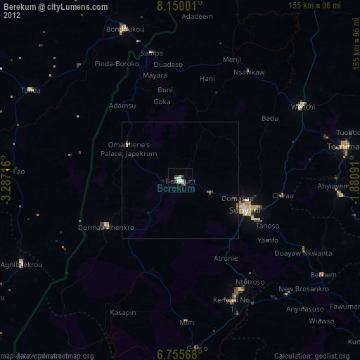
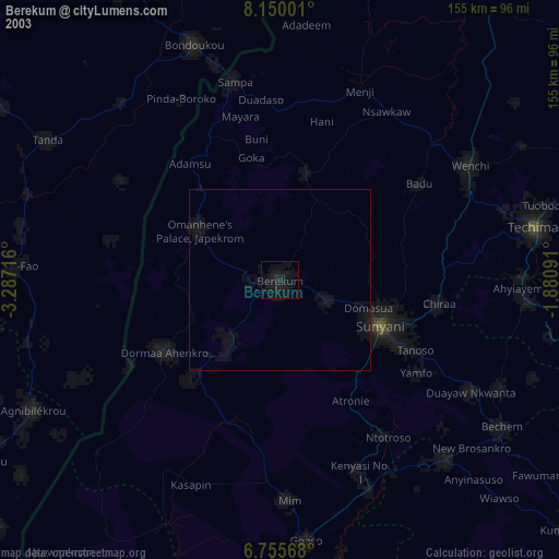
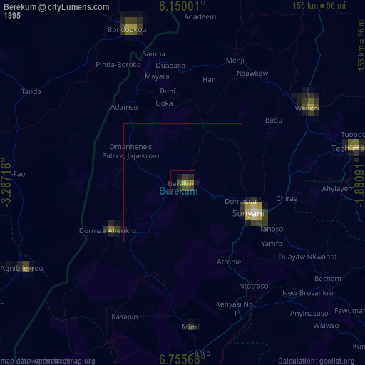
Berekum night lights from space
Night Light of Berekum (Brong-Ahafo) from space (Ghana) Src. Average luminocity for 10x10km area is 25.1797% and for 50x50km: 1.8545%.

Analysis of Berekum night lights 2016
Square area 10x10 km:
 0.43%
0.43%90-99
1.95%80-89
5.84%70-79
6.28%60-69
3.03%50-59
4.55%40-49
6.28%30-39
1.95%20-29
2.6%10-19
13.85%0-9
53.25%Square area 50x50 km:
0.02%90-99
0.09%80-89
0.25%70-79
0.34%60-69
0.25%50-59
0.27%40-49
0.5%30-39
0.31%20-29
0.28%10-19
1.6%0-9
96.1%Clear (daylight) street map image can be seen on geolist.org.
Map coordinates:
8° 9' 0" North, 3° 17' 13.8" West
7° 27' 12.2" North, 2° 35' 2.5" West
6° 45' 20.4" North, 1° 52' 51.3" West
Some cities around Berekum sort by population:
• Japekrom
26 km =16.2 mi,  301°
301°
• Sunyani
31 km =19.3 mi,  113°
113°
• Techiman
72.7 km =45.2 mi,  78°
78°
• Bondoukou, CI
69.5 km =43.2 mi,  339°
339°
• Wenchi
61.7 km =38.3 mi,  58°
58°
• Tanda, CI
75.2 km =46.7 mi, 301°
• Bechem
73.7 km =45.8 mi,  123°
123°
• Duayaw-Nkwanta
61.8 km =38.4 mi, 120°
2303125 (p: 62,364)
Sources (retrieved 2019-11-25):
» NASA, Earths city lights 1995
» NASA city lights 2003
» Earth at Night: Flat Maps 2012, 2016