Cape Coast night lights from space
Night Light of Cape Coast (Central) from space (Ghana) Src. Average luminocity for 10x10km area is 45.9236% and for 50x50km: 6.8581%.
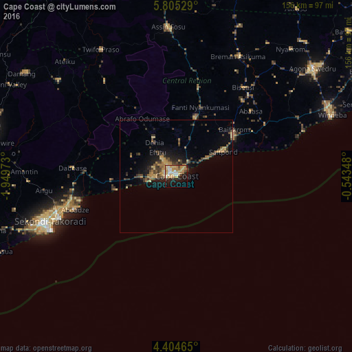
Analysis of Cape Coast night lights 2016
Square area 10x10 km:
 5.37%
5.37%90-99
8.47%80-89
9.5%70-79
11.16%60-69
11.16%50-59
1.03%40-49
2.69%30-39
1.65%20-29
8.47%10-19
23.97%0-9
16.53%Square area 50x50 km:
0.24%90-99
0.39%80-89
1.11%70-79
1.27%60-69
1.41%50-59
0.6%40-49
1.65%30-39
1.52%20-29
1.56%10-19
4.61%0-9
85.63%Clear (daylight) street map image can be seen on geolist.org.
Map coordinates:
5° 48' 19" North, 1° 56' 59" West
5° 6' 19.3" North, 1° 14' 47.8" West
4° 24' 16.7" North, 0° 32' 36.5" West
Some cities around Cape Coast sort by population:
• Takoradi
61.4 km =38.2 mi,  247°
247°
• Sekondi-Takoradi
60 km =37.3 mi, 250°
• Elmina
11.8 km =7.3 mi,  258°
258°
• Saltpond
23.6 km =14.7 mi,  60°
60°
• Shama Junction
47.3 km =29.4 mi, 258°
• Apam
59.8 km =37.2 mi,  70°
70°
• Foso
66.4 km =41.3 mi,  356°
356°
• Mumford
56.7 km =35.2 mi, 72°
2302357 (p: 143,015)
Sources (retrieved 2019-11-25):
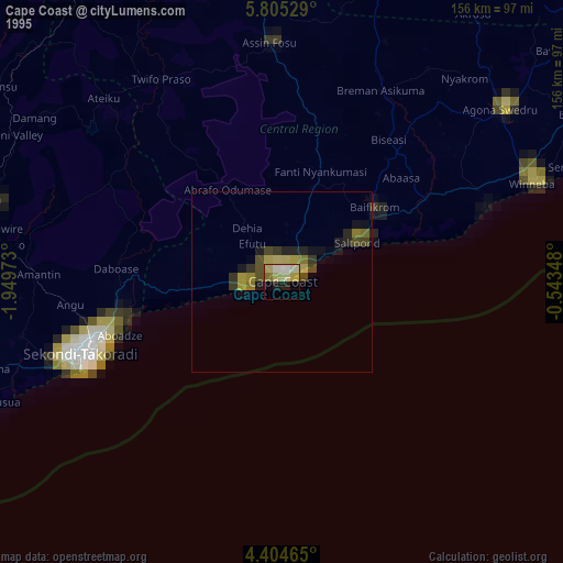
» NASA, Earths city lights 1995
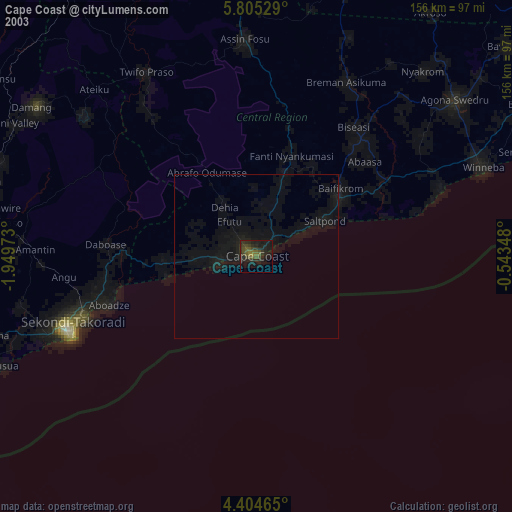
» NASA city lights 2003
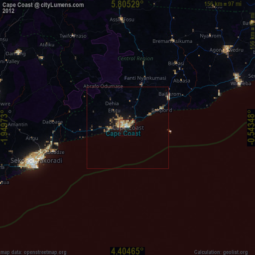
» Earth at Night: Flat Maps 2012, 2016