Prestea night lights from space
Night Light of Prestea (Western) from space (Ghana) Src. Average luminocity for 10x10km area is 10.1322% and for 50x50km: 4.9571%.
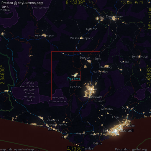
Analysis of Prestea night lights 2016
Square area 10x10 km:
 0.62%
0.62%90-99
0.21%80-89
2.69%70-79
2.89%60-69
0.21%50-59
1.03%40-49
3.93%30-39
0%20-29
1.65%10-19
1.65%0-9
85.12%Square area 50x50 km:
0.04%90-99
0.06%80-89
1.37%70-79
1.02%60-69
0.94%50-59
0.42%40-49
1.29%30-39
0.87%20-29
1.09%10-19
3.22%0-9
89.68%Clear (daylight) street map image can be seen on geolist.org.
Map coordinates:
6° 8' 0.2" North, 2° 50' 45.9" West
5° 26' 1.9" North, 2° 8' 34.6" West
4° 44' 0.6" North, 1° 26' 23.4" West
Some cities around Prestea sort by population:
• Takoradi
73.1 km =45.4 mi,  144°
144°
• Sekondi-Takoradi
70.7 km =43.9 mi, 142°
• Tarkwa
22.3 km =13.9 mi,  130°
130°
• Dunkwa
71.1 km =44.2 mi,  34°
34°
• Elmina
95.9 km =59.6 mi,  113°
113°
• Axim
64 km =39.8 mi,  189°
189°
• Shama Junction
70.3 km =43.7 mi, 131°
• Aboso
23 km =14.3 mi, 110°
2295840 (p: 35,155)
Sources (retrieved 2019-11-25):
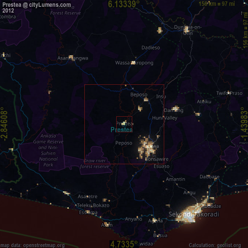
» Earth at Night: Flat Maps 2012, 2016