Ouargaye night lights from space
Night Light of Ouargaye (Centre-Est) from space (Burkina Faso) Src. Average luminocity for 10x10km area is 0% and for 50x50km: 0%.
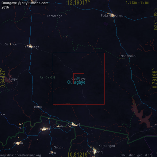
Analysis of Ouargaye night lights 2016
Square area 10x10 km:
 0%
0%90-99
0%80-89
0%70-79
0%60-69
0%50-59
0%40-49
0%30-39
0%20-29
0%10-19
0%0-9
100%Square area 50x50 km:
0%90-99
0%80-89
0%70-79
0%60-69
0%50-59
0%40-49
0%30-39
0%20-29
0%10-19
0%0-9
100%Clear (daylight) street map image can be seen on geolist.org.
Map coordinates:
12° 11' 24.6" North, 0° 38' 39.4" West
11° 30' 7.3" North, 0° 3' 31.9" East
10° 48' 43.9" North, 0° 45' 43.1" East
Some cities around Ouargaye sort by population:
• Bawku, GH
58.9 km =36.6 mi,  213°
213°
• Tenkodogo
56 km =34.8 mi,  303°
303°
• Fada N'gourma
70.2 km =43.6 mi,  27°
27°
• Dapaong, TG
73 km =45.4 mi,  167°
167°
• Koupéla
87.5 km =54.4 mi,  329°
329°
• Garango
74.2 km =46.1 mi, 296°
• Zorgo
110.8 km =68.8 mi,  318°
318°
• Pama
76.1 km =47.3 mi,  111°
111°
2357012 (p: 10,103)
Sources (retrieved 2019-11-25):
» Earth at Night: Flat Maps 2012, 2016