Pama night lights from space
Night Light of Pama (Est) from space (Burkina Faso) Src. Average luminocity for 10x10km area is 0% and for 50x50km: 0.0466%.
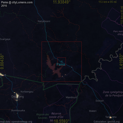
Analysis of Pama night lights 2016
Square area 10x10 km:
 0%
0%90-99
0%80-89
0%70-79
0%60-69
0%50-59
0%40-49
0%30-39
0%20-29
0%10-19
0%0-9
100%Square area 50x50 km:
0%90-99
0%80-89
0%70-79
0%60-69
0%50-59
0%40-49
0.03%30-39
0.03%20-29
0.03%10-19
0.07%0-9
99.83%Clear (daylight) street map image can be seen on geolist.org.
Map coordinates:
11° 56' 18.6" North, 0° 0' 15.8" East
11° 14' 59" North, 0° 42' 27" East
10° 33' 33.5" North, 1° 24' 38.3" East
Some cities around Pama sort by population:
• Natitingou, BJ
128.2 km =79.7 mi,  145°
145°
• Bawku, GH
105.6 km =65.6 mi,  258°
258°
• Sansanné-Mango, TG
102.3 km =63.6 mi,  194°
194°
• Tenkodogo
131.3 km =81.6 mi,  296°
296°
• Fada N'gourma
97.9 km =60.8 mi,  337°
337°
• Dapaong, TG
69.5 km =43.2 mi,  231°
231°
• Tanguiéta, BJ
92.8 km =57.7 mi,  138°
138°
• Ouargaye
76.1 km =47.3 mi,  291°
291°
2356738 (p: 8,902)
Sources (retrieved 2019-11-25):
» Earth at Night: Flat Maps 2012, 2016