Yapton night lights from space
Night Light of Yapton (England) from space (United Kingdom) Src. Average luminocity for 10x10km area is 17.923% and for 50x50km: 4.7338%.
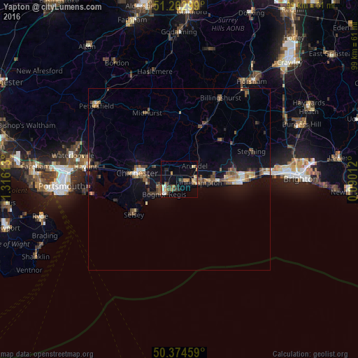
Analysis of Yapton night lights 2016
Square area 10x10 km:
 1.26%
1.26%90-99
1.26%80-89
2.94%70-79
3.92%60-69
2.8%50-59
1.82%40-49
3.08%30-39
2.24%20-29
3.92%10-19
5.74%0-9
71.01%Square area 50x50 km:
0.25%90-99
0.43%80-89
0.4%70-79
0.62%60-69
0.76%50-59
0.92%40-49
0.92%30-39
0.82%20-29
0.66%10-19
4.07%0-9
90.14%Clear (daylight) street map image can be seen on geolist.org.
Map coordinates:
51° 15' 46.8" North, 1° 18' 58.1" West
50° 49' 15.2" North, 0° 36' 46.8" West
50° 22' 28.5" North, 0° 5' 24.4" East
Some cities around Yapton sort by population:
• Bognor Regis
6.4 km =4 mi,  227°
227°
• Littlehampton
5.2 km =3.2 mi,  101°
101°
• Chichester
11.9 km =7.4 mi,  278°
278°
• Rustington
7.6 km =4.7 mi, 98°
• Barnham
2.1 km =1.3 mi,  303°
303°
• Selsey
15.7 km =9.8 mi, 232°
• Westergate
4.6 km =2.9 mi, 297°
• Storrington
15.5 km =9.6 mi,  45°
45°
2633422 (p: 5,459)
Sources (retrieved 2019-11-25):
» Earth at Night: Flat Maps 2012, 2016