Chichester night lights from space
Night Light of Chichester (England) from space (United Kingdom) Src. Average luminocity for 10x10km area is 17.4524% and for 50x50km: 6.8349%.
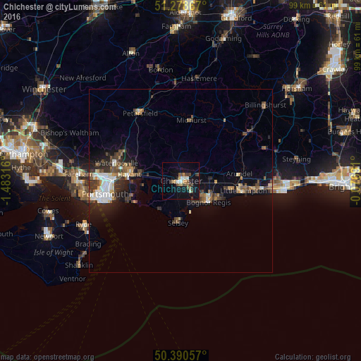
Analysis of Chichester night lights 2016
Square area 10x10 km:
 1.68%
1.68%90-99
2.66%80-89
0.7%70-79
2.1%60-69
2.94%50-59
2.38%40-49
3.92%30-39
2.66%20-29
1.82%10-19
18.21%0-9
60.92%Square area 50x50 km:
0.91%90-99
1.1%80-89
0.49%70-79
0.63%60-69
0.76%50-59
1.07%40-49
1.31%30-39
1.42%20-29
1.84%10-19
4.19%0-9
86.26%Clear (daylight) street map image can be seen on geolist.org.
Map coordinates:
51° 16' 43.2" North, 1° 28' 59.4" West
50° 50' 12.2" North, 0° 46' 48.1" West
50° 23' 26.1" North, 0° 4' 36.9" West
Some cities around Chichester sort by population:
• Bognor Regis
9.3 km =5.8 mi,  130°
130°
• Emsworth
11.1 km =6.9 mi,  276°
276°
• Hayling Island
14.5 km =9 mi,  246°
246°
• Barnham
10 km =6.2 mi,  93°
93°
• Selsey
11.3 km =7 mi,  183°
183°
• Westergate
7.6 km =4.7 mi, 87°
• East Wittering
10 km =6.2 mi,  221°
221°
• Yapton
11.9 km =7.4 mi,  98°
98°
2653192 (p: 31,654)
Sources (retrieved 2019-11-25):
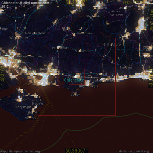
» Earth at Night: Flat Maps 2012, 2016