Westergate night lights from space
Night Light of Westergate (England) from space (United Kingdom) Src. Average luminocity for 10x10km area is 11.4608% and for 50x50km: 5.4404%.
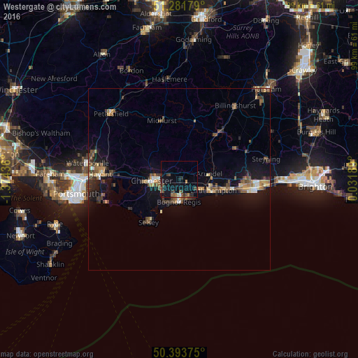
Analysis of Westergate night lights 2016
Square area 10x10 km:
 0.42%
0.42%90-99
0.42%80-89
0.56%70-79
0.98%60-69
2.1%50-59
0.7%40-49
4.48%30-39
2.1%20-29
3.36%10-19
13.03%0-9
71.85%Square area 50x50 km:
0.29%90-99
0.48%80-89
0.42%70-79
0.71%60-69
0.87%50-59
1.18%40-49
1.15%30-39
0.99%20-29
1.14%10-19
4.44%0-9
88.32%Clear (daylight) street map image can be seen on geolist.org.
Map coordinates:
51° 16' 54.4" North, 1° 22' 27.7" West
50° 50' 23.6" North, 0° 40' 16.4" West
50° 23' 37.5" North, 0° 1' 54.8" East
Some cities around Westergate sort by population:
• Bognor Regis
6.5 km =4 mi,  185°
185°
• Littlehampton
9.7 km =6 mi,  109°
109°
• Chichester
7.6 km =4.7 mi,  267°
267°
• Rustington
12 km =7.5 mi, 105°
• Barnham
2.5 km =1.6 mi, 112°
• Selsey
14.3 km =8.9 mi,  215°
215°
• East Wittering
16.3 km =10.1 mi,  241°
241°
• Yapton
4.6 km =2.9 mi,  117°
117°
8063669 (p: 9,783)
Sources (retrieved 2019-11-25):
» Earth at Night: Flat Maps 2012, 2016