Littlehampton night lights from space
Night Light of Littlehampton (England) from space (United Kingdom) Src. Average luminocity for 10x10km area is 16.2367% and for 50x50km: 5.207%.
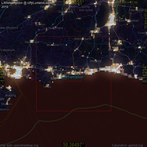
Analysis of Littlehampton night lights 2016
Square area 10x10 km:
 0%
0%90-99
0.56%80-89
2.52%70-79
3.22%60-69
3.08%50-59
4.34%40-49
2.38%30-39
2.8%20-29
2.1%10-19
4.34%0-9
74.65%Square area 50x50 km:
0.31%90-99
0.64%80-89
0.52%70-79
0.61%60-69
0.78%50-59
0.93%40-49
0.89%30-39
0.69%20-29
0.91%10-19
4.97%0-9
88.76%Clear (daylight) street map image can be seen on geolist.org.
Map coordinates:
51° 15' 12.8" North, 1° 14' 38.1" West
50° 48' 40.9" North, 0° 32' 26.8" West
50° 21' 53.9" North, 0° 9' 44.4" East
Some cities around Littlehampton sort by population:
• Worthing
11.6 km =7.2 mi,  86°
86°
• Bognor Regis
10.3 km =6.4 mi,  251°
251°
• Rustington
2.4 km =1.5 mi, 92°
• Barnham
7.2 km =4.5 mi,  287°
287°
• Westergate
9.7 km =6 mi, 289°
• Storrington
13.3 km =8.3 mi,  27°
27°
• Broadwater
11.7 km =7.3 mi,  80°
80°
• Yapton
5.2 km =3.2 mi,  281°
281°
2644319 (p: 58,714)
Sources (retrieved 2019-11-25):
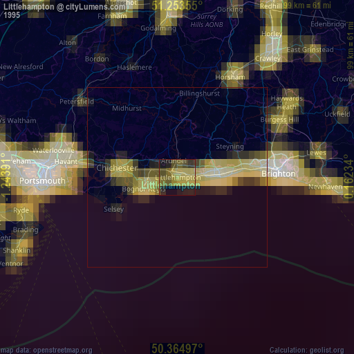
» NASA, Earths city lights 1995
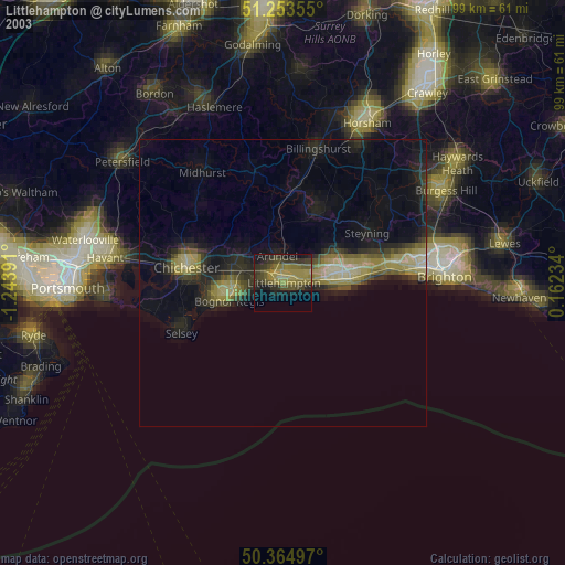
» NASA city lights 2003
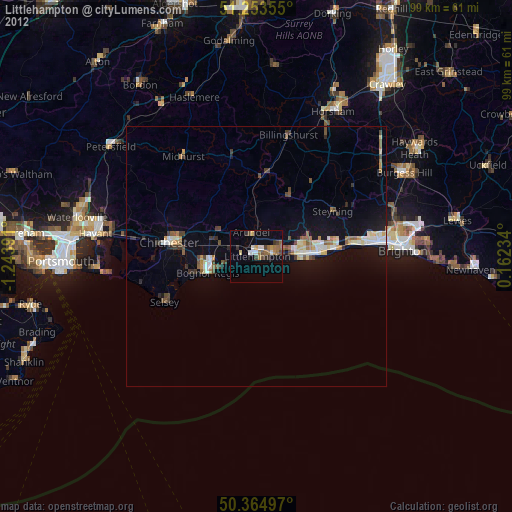
» Earth at Night: Flat Maps 2012, 2016