Woking night lights from space
Night Light of Woking (England) from space (United Kingdom) Src. Average luminocity for 10x10km area is 30.2815% and for 50x50km: 35.2714%.
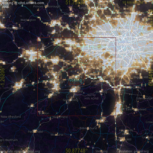
Analysis of Woking night lights 2016
Square area 10x10 km:
 1.26%
1.26%90-99
1.96%80-89
0.7%70-79
2.8%60-69
4.06%50-59
7.98%40-49
8.4%30-39
10.22%20-29
14.71%10-19
46.22%0-9
1.68%Square area 50x50 km:
7.61%90-99
7.27%80-89
3.08%70-79
3.66%60-69
4.62%50-59
5.47%40-49
6.25%30-39
5.41%20-29
7.98%10-19
14.09%0-9
34.55%Clear (daylight) street map image can be seen on geolist.org.
Map coordinates:
51° 45' 22.9" North, 1° 15' 43.4" West
51° 19' 8.5" North, 0° 33' 32.1" West
50° 52' 38.9" North, 0° 8' 39.1" East
Some cities around Woking sort by population:
• Weybridge
9 km =5.6 mi,  49°
49°
• Addlestone
7.4 km =4.6 mi,  37°
37°
• Chertsey
8.5 km =5.3 mi,  24°
24°
• Knaphill
4 km =2.5 mi,  271°
271°
• Lightwater
8.5 km =5.3 mi,  292°
292°
• Send
4 km =2.5 mi,  146°
146°
• West Clandon
7.6 km =4.7 mi, 149°
• West Byfleet
4.2 km =2.6 mi,  60°
60°
2633709 (p: 103,932)
Sources (retrieved 2019-11-25):
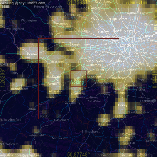
» NASA, Earths city lights 1995
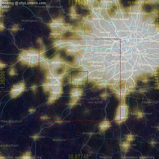
» NASA city lights 2003
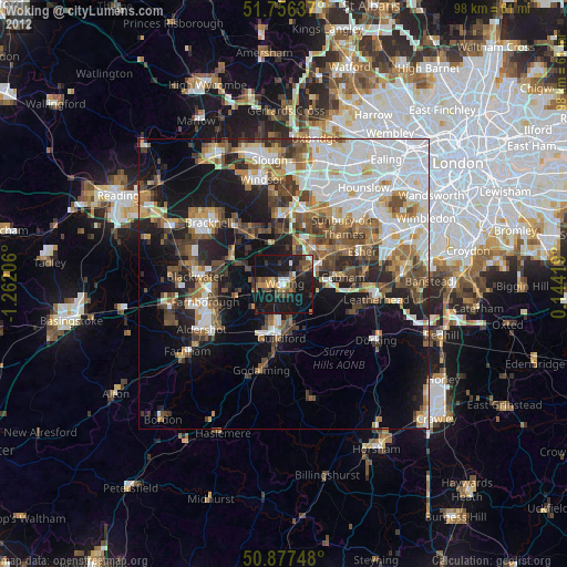
» Earth at Night: Flat Maps 2012, 2016