Faringdon night lights from space
Night Light of Faringdon (England) from space (United Kingdom) Src. Average luminocity for 10x10km area is 3.5196% and for 50x50km: 9.4367%.
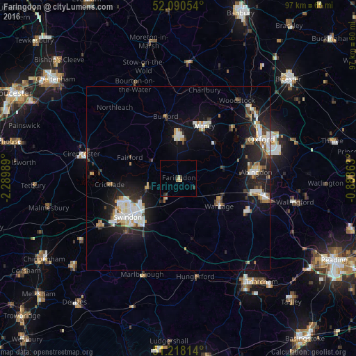
Analysis of Faringdon night lights 2016
Square area 10x10 km:
 0%
0%90-99
0%80-89
1.12%70-79
0.56%60-69
0.56%50-59
0%40-49
0.7%30-39
1.68%20-29
0.42%10-19
0.28%0-9
94.68%Square area 50x50 km:
1.53%90-99
2.18%80-89
0.74%70-79
0.75%60-69
1%50-59
0.68%40-49
1.12%30-39
0.91%20-29
3.38%10-19
7.1%0-9
80.62%Clear (daylight) street map image can be seen on geolist.org.
Map coordinates:
52° 5' 25.9" North, 2° 17' 23.6" West
51° 39' 23.2" North, 1° 35' 12.3" West
51° 13' 5.3" North, 0° 53' 1.1" West
Some cities around Faringdon sort by population:
• Swindon
17.3 km =10.7 mi,  230°
230°
• Abingdon
21 km =13 mi,  85°
85°
• Witney
15.8 km =9.8 mi,  26°
26°
• Wantage
13.4 km =8.3 mi,  124°
124°
• Grove
12.5 km =7.8 mi,  114°
114°
• Carterton
11.4 km =7.1 mi,  357°
357°
• Highworth
9 km =5.6 mi,  251°
251°
• Wroughton
20.6 km =12.8 mi,  224°
224°
2649686 (p: 7,121)
Sources (retrieved 2019-11-25):
» Earth at Night: Flat Maps 2012, 2016