Windsor night lights from space
Night Light of Windsor (England) from space (United Kingdom) Src. Average luminocity for 10x10km area is 58.6013% and for 50x50km: 44.0609%.
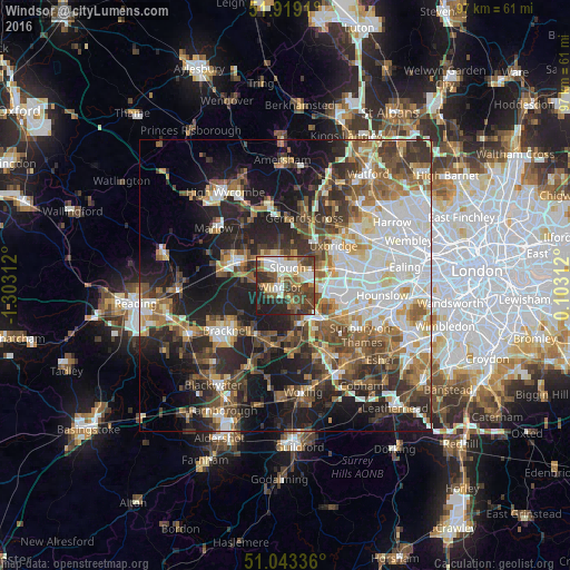
Analysis of Windsor night lights 2016
Square area 10x10 km:
 11.69%
90-99
11.82%80-89
6.62%70-79
7.79%60-69
4.94%50-59
11.17%40-49
13.51%30-39
12.99%20-29
12.99%10-19
6.49%0-9
0%Square area 50x50 km:
9.04%90-99
9.37%80-89
4.1%70-79
4.62%60-69
6.2%50-59
6.92%40-49
7.27%30-39
6.96%20-29
10.86%10-19
16.52%0-9
18.13%Clear (daylight) street map image can be seen on geolist.org.
Map coordinates:
51° 55' 8.8" North, 1° 18' 11.2" West
51° 28' 60" North, 0° 36' 0" West
51° 2' 36.1" North, 0° 6' 11.2" East
Some cities around Windsor sort by population:
• Slough
2.9 km =1.8 mi,  6°
6°
• Staines
8.7 km =5.4 mi,  131°
131°
• Egham
6.6 km =4.1 mi,  150°
150°
• Iver Heath
8.2 km =5.1 mi,  43°
43°
• Iver
7.2 km =4.5 mi,  75°
75°
• Old Windsor
3 km =1.9 mi,  161°
161°
• Farnham Royal
6.6 km =4.1 mi,  350°
350°
• Colnbrook
5.4 km =3.4 mi,  89°
89°
2633842 (p: 33,348)
Sources (retrieved 2019-11-25):
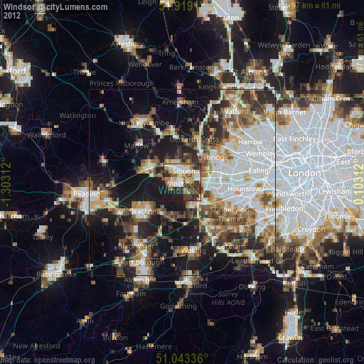
» Earth at Night: Flat Maps 2012, 2016