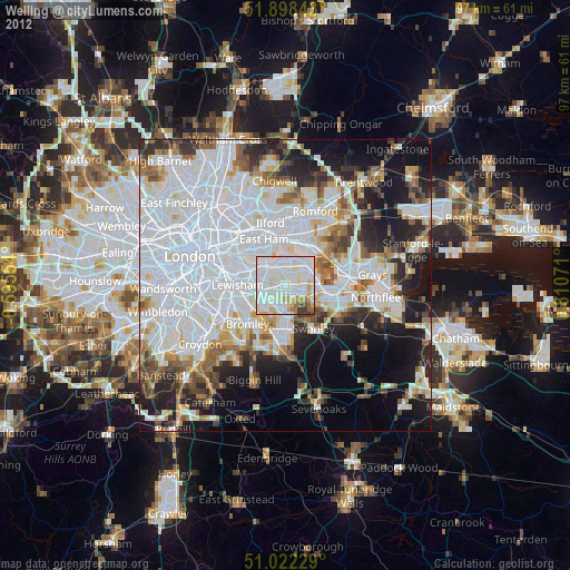
Welling night lights from space
Night Light of Welling (England) from space (United Kingdom) Src. Average luminocity for 10x10km area is 93.738% and for 50x50km: 58.7155%.

Analysis of Welling night lights 2016
Square area 10x10 km:
 41.71%
90-99
37.83%80-89
10.43%70-79
3.34%60-69
2.81%50-59
2.54%40-49
1.34%30-39
0%20-29
0%10-19
0%0-9
0%Square area 50x50 km:
24.1%90-99
12.86%80-89
5.73%70-79
4.78%60-69
5.15%50-59
4.86%40-49
4.85%30-39
4.69%20-29
8.08%10-19
9.97%0-9
14.95%Clear (daylight) street map image can be seen on geolist.org.
Map coordinates:
51° 53' 54.3" North, 0° 35' 43.9" West
51° 27' 44.9" North, 0° 6' 27.3" East
51° 1' 20.2" North, 0° 48' 38.6" East
Some cities around Welling sort by population:
• Bexley
3.7 km =2.3 mi,  129°
129°
• Dartford
7.6 km =4.7 mi,  103°
103°
• Blackheath
6.9 km =4.3 mi,  272°
272°
• Chislehurst
5.7 km =3.5 mi,  208°
208°
• Abbey Wood
2.7 km =1.7 mi,  359°
359°
• Belvedere
4.4 km =2.7 mi,  43°
43°
• Sidcup
4 km =2.5 mi,  183°
183°
• Erith
5.2 km =3.2 mi,  63°
63°
2634579 (p: 42,500)
Sources (retrieved 2019-11-25):
» Earth at Night: Flat Maps 2012, 2016