Chislehurst night lights from space
Night Light of Chislehurst (England) from space (United Kingdom) Src. Average luminocity for 10x10km area is 86.6083% and for 50x50km: 57.2026%.
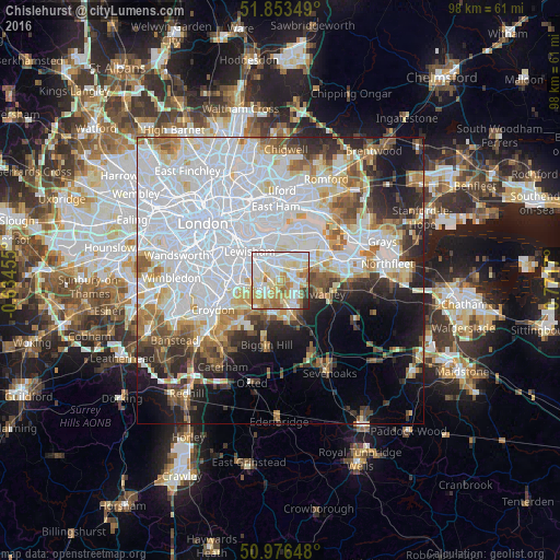
Analysis of Chislehurst night lights 2016
Square area 10x10 km:
 26.87%
90-99
27.54%80-89
18.85%70-79
10.43%60-69
10.29%50-59
2.81%40-49
0.53%30-39
1.6%20-29
1.07%10-19
0%0-9
0%Square area 50x50 km:
24.64%90-99
12.82%80-89
5.31%70-79
4.45%60-69
4.94%50-59
4.52%40-49
3.98%30-39
3.83%20-29
6.88%10-19
8.83%0-9
19.81%Clear (daylight) street map image can be seen on geolist.org.
Map coordinates:
51° 51' 12.6" North, 0° 38' 4.4" West
51° 25' 1.5" North, 0° 4' 6.9" East
50° 58' 35.3" North, 0° 46' 18.1" East
Some cities around Chislehurst sort by population:
• Bexley
6.2 km =3.9 mi,  63°
63°
• Beckenham
6.6 km =4.1 mi,  261°
261°
• Welling
5.7 km =3.5 mi,  28°
28°
• Blackheath
6.8 km =4.2 mi,  321°
321°
• Orpington
5.1 km =3.2 mi,  156°
156°
• Sidcup
2.6 km =1.6 mi,  67°
67°
• Shortlands
4.9 km =3 mi,  245°
245°
• Farnborough
6.4 km =4 mi,  179°
179°
2653123 (p: 20,000)
Sources (retrieved 2019-11-25):
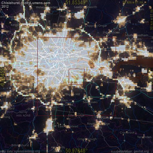
» Earth at Night: Flat Maps 2012, 2016