Bexley night lights from space
Night Light of Bexley (England) from space (United Kingdom) Src. Average luminocity for 10x10km area is 82.4639% and for 50x50km: 55.9253%.
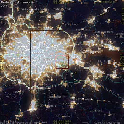
Analysis of Bexley night lights 2016
Square area 10x10 km:
 23.4%
23.4%90-99
27.81%80-89
13.24%70-79
10.43%60-69
6.55%50-59
9.09%40-49
5.48%30-39
3.07%20-29
0.94%10-19
0%0-9
0%Square area 50x50 km:
22.41%90-99
12.36%80-89
5.43%70-79
4.58%60-69
4.88%50-59
4.45%40-49
4.38%30-39
5.09%20-29
8.37%10-19
10.93%0-9
17.12%Clear (daylight) street map image can be seen on geolist.org.
Map coordinates:
51° 52' 40" North, 0° 33' 16.1" West
51° 26' 29.8" North, 0° 8' 55.2" East
51° 0' 4.5" North, 0° 51' 6.4" East
Some cities around Bexley sort by population:
• Dartford
4.6 km =2.9 mi,  83°
83°
• Welling
3.7 km =2.3 mi,  309°
309°
• Swanley
5.2 km =3.2 mi,  160°
160°
• Chislehurst
6.2 km =3.9 mi,  243°
243°
• Abbey Wood
5.8 km =3.6 mi,  330°
330°
• Belvedere
5.5 km =3.4 mi,  1°
1°
• Sidcup
3.6 km =2.2 mi, 241°
• Erith
5 km =3.1 mi,  21°
21°
2655775 (p: 228,000)
Sources (retrieved 2019-11-25):
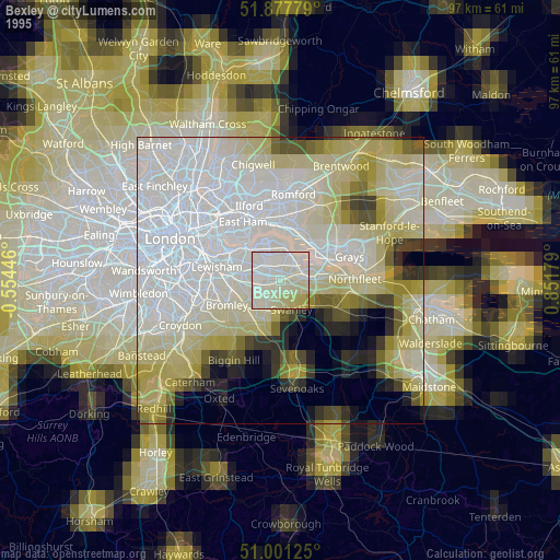
» NASA, Earths city lights 1995
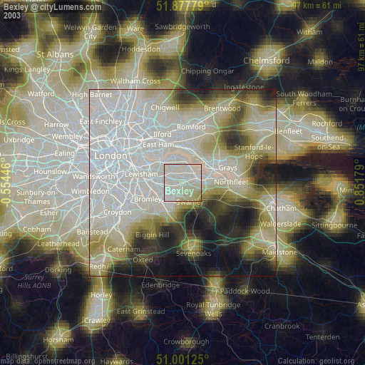
» NASA city lights 2003
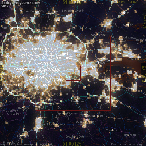
» Earth at Night: Flat Maps 2012, 2016