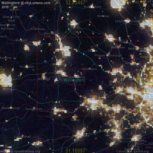
Wallingford night lights from space
Night Light of Wallingford (England) from space (United Kingdom) Src. Average luminocity for 10x10km area is 6.0735% and for 50x50km: 14.2087%.
Analysis of Wallingford night lights 2016
Square area 10x10 km:
 0%
0%90-99
1.6%80-89
0%70-79
0%60-69
0%50-59
0.53%40-49
3.74%30-39
1.87%20-29
1.47%10-19
1.47%0-9
89.3%Square area 50x50 km:
1.9%90-99
2.46%80-89
1.15%70-79
1.43%60-69
1.88%50-59
1.65%40-49
2.46%30-39
1.85%20-29
5.25%10-19
11.54%0-9
68.42%Clear (daylight) street map image can be seen on geolist.org.
Map coordinates:
52° 2' 4.1" North, 1° 49' 40.5" West
51° 35' 59.4" North, 1° 7' 29.3" West
51° 9' 39.5" North, 0° 25' 18" West
Some cities around Wallingford sort by population:
• Abingdon
13.5 km =8.4 mi,  306°
306°
• Didcot
8.2 km =5.1 mi,  277°
277°
• Cowley
15.7 km =9.8 mi,  339°
339°
• Henley-on-Thames
17.2 km =10.7 mi,  115°
115°
• Calcot
18.4 km =11.4 mi,  163°
163°
• Benson
2.5 km =1.6 mi,  24°
24°
• Wheatley
16.4 km =10.2 mi,  356°
356°
• West Ilsley
15.3 km =9.5 mi,  244°
244°
2634869 (p: 10,348)
Sources (retrieved 2019-11-25):
» Earth at Night: Flat Maps 2012, 2016