Didcot night lights from space
Night Light of Didcot (England) from space (United Kingdom) Src. Average luminocity for 10x10km area is 22.3583% and for 50x50km: 11.6595%.
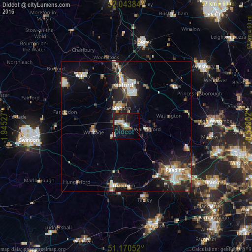
Analysis of Didcot night lights 2016
Square area 10x10 km:
 2.94%
2.94%90-99
4.55%80-89
1.07%70-79
0.53%60-69
4.68%50-59
3.34%40-49
1.74%30-39
2.27%20-29
6.82%10-19
27.81%0-9
44.25%Square area 50x50 km:
1.62%90-99
2.35%80-89
0.94%70-79
1.07%60-69
1.47%50-59
1.31%40-49
1.88%30-39
1.41%20-29
4.03%10-19
8.27%0-9
75.63%Clear (daylight) street map image can be seen on geolist.org.
Map coordinates:
52° 2' 37.8" North, 1° 56' 43" West
51° 36' 33.4" North, 1° 14' 31.7" West
51° 10' 13.9" North, 0° 32' 20.5" West
Some cities around Didcot sort by population:
• Oxford
15.9 km =9.9 mi,  356°
356°
• Abingdon
7.4 km =4.6 mi,  337°
337°
• Wantage
12.9 km =8 mi,  259°
259°
• Grove
12.4 km =7.7 mi,  270°
270°
• Cowley
13.9 km =8.6 mi,  10°
10°
• Wallingford
8.2 km =5.1 mi,  97°
97°
• Benson
9.2 km =5.7 mi,  82°
82°
• West Ilsley
9.6 km =6 mi,  216°
216°
2651269 (p: 29,341)
Sources (retrieved 2019-11-25):
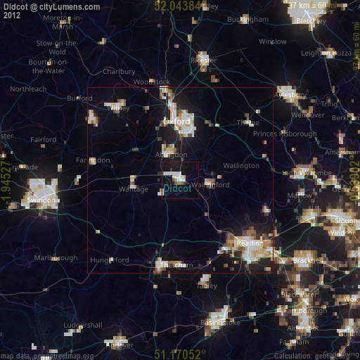
» Earth at Night: Flat Maps 2012, 2016