Walkden night lights from space
Night Light of Walkden (England) from space (United Kingdom) Src. Average luminocity for 10x10km area is 70.537% and for 50x50km: 49.9894%.
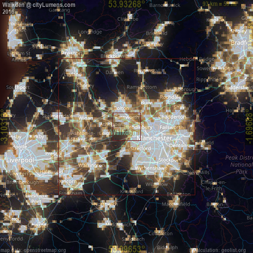
Analysis of Walkden night lights 2016
Square area 10x10 km:
 13.1%
13.1%90-99
14.29%80-89
11.9%70-79
15.74%60-69
14.29%50-59
7.94%40-49
10.05%30-39
6.48%20-29
6.22%10-19
0%0-9
0%Square area 50x50 km:
13.11%90-99
11.34%80-89
4.99%70-79
5.26%60-69
6.26%50-59
5.83%40-49
6.58%30-39
6.57%20-29
10.72%10-19
15.33%0-9
14%Clear (daylight) street map image can be seen on geolist.org.
Map coordinates:
53° 55' 57.6" North, 3° 6' 11.3" West
53° 31' 0" North, 2° 24' 0" West
53° 5' 47.5" North, 1° 41' 48.8" West
Some cities around Walkden sort by population:
• Eccles
5.8 km =3.6 mi,  130°
130°
• Tyldesley
4.5 km =2.8 mi,  266°
266°
• Farnworth
3.7 km =2.3 mi,  0°
0°
• Atherton
6.2 km =3.9 mi,  277°
277°
• Swinton
3.8 km =2.4 mi,  119°
119°
• Little Lever
5.4 km =3.4 mi,  15°
15°
• Little Hulton
2.2 km =1.4 mi,  329°
329°
• Kearsley
2.2 km =1.4 mi,  30°
30°
2634887 (p: 35,937)
Sources (retrieved 2019-11-25):
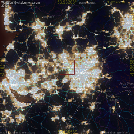
» Earth at Night: Flat Maps 2012, 2016