Farnworth night lights from space
Night Light of Farnworth (England) from space (United Kingdom) Src. Average luminocity for 10x10km area is 78.4934% and for 50x50km: 51.2241%.
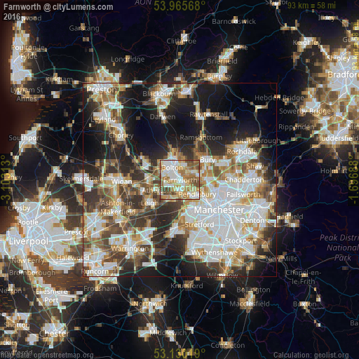
Analysis of Farnworth night lights 2016
Square area 10x10 km:
 17.72%
90-99
19.05%80-89
15.08%70-79
12.57%60-69
16.67%50-59
10.71%40-49
7.67%30-39
0.53%20-29
0%10-19
0%0-9
0%Square area 50x50 km:
13.51%90-99
11.86%80-89
5.07%70-79
5.55%60-69
6.58%50-59
6.02%40-49
6.62%30-39
6.56%20-29
10.42%10-19
14.06%0-9
13.74%Clear (daylight) street map image can be seen on geolist.org.
Map coordinates:
53° 57' 56.4" North, 3° 6' 11.3" West
53° 33' 0" North, 2° 24' 0" West
53° 7' 48.7" North, 1° 41' 48.8" West
Some cities around Farnworth sort by population:
• Bolton
4.3 km =2.7 mi,  329°
329°
• Walkden
3.7 km =2.3 mi,  180°
180°
• Tyldesley
6 km =3.7 mi,  228°
228°
• Radcliffe
5.2 km =3.2 mi,  75°
75°
• Swinton
6.5 km =4 mi,  149°
149°
• Little Lever
2.1 km =1.3 mi,  44°
44°
• Little Hulton
2.2 km =1.4 mi,  210°
210°
• Kearsley
2.2 km =1.4 mi, 149°
2649650 (p: 25,680)
Sources (retrieved 2019-11-25):
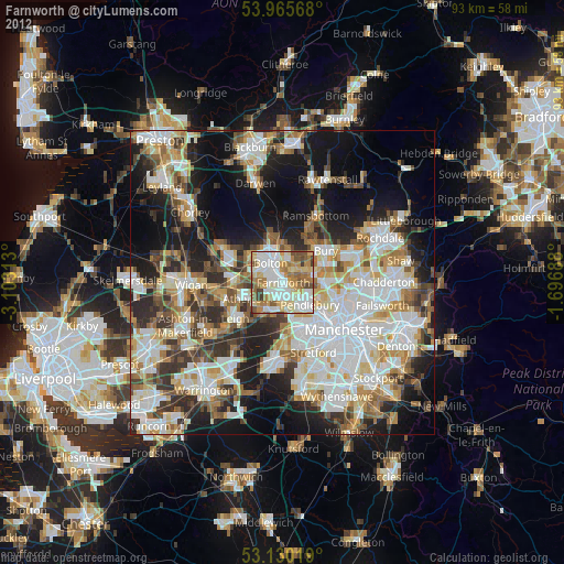
» Earth at Night: Flat Maps 2012, 2016