Tyldesley night lights from space
Night Light of Tyldesley (England) from space (United Kingdom) Src. Average luminocity for 10x10km area is 60.3267% and for 50x50km: 50.1673%.
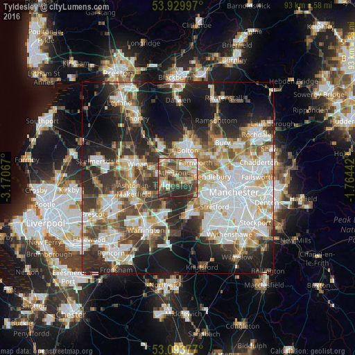
Analysis of Tyldesley night lights 2016
Square area 10x10 km:
 7.28%
7.28%90-99
9.26%80-89
11.51%70-79
9.26%60-69
10.71%50-59
10.85%40-49
17.06%30-39
13.49%20-29
10.58%10-19
0%0-9
0%Square area 50x50 km:
13.24%90-99
11.42%80-89
4.81%70-79
5.22%60-69
6.08%50-59
5.61%40-49
6.76%30-39
6.89%20-29
11.62%10-19
15.23%0-9
13.13%Clear (daylight) street map image can be seen on geolist.org.
Map coordinates:
53° 55' 47.9" North, 3° 10' 14.4" West
53° 30' 50.1" North, 2° 28' 3.1" West
53° 5' 37.6" North, 1° 45' 51.9" West
Some cities around Tyldesley sort by population:
• Leigh
4 km =2.5 mi,  240°
240°
• Walkden
4.5 km =2.8 mi,  86°
86°
• Westhoughton
5.4 km =3.4 mi,  315°
315°
• Farnworth
6 km =3.7 mi,  48°
48°
• Atherton
2 km =1.2 mi,  302°
302°
• Little Hulton
4 km =2.5 mi,  57°
57°
• Kearsley
6 km =3.7 mi,  68°
68°
• Culcheth
7.8 km =4.8 mi,  206°
206°
2635281 (p: 35,932)
Sources (retrieved 2019-11-25):
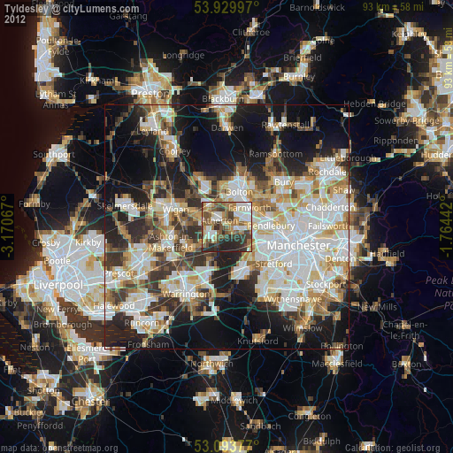
» Earth at Night: Flat Maps 2012, 2016