Atherton night lights from space
Night Light of Atherton (England) from space (United Kingdom) Src. Average luminocity for 10x10km area is 61.6336% and for 50x50km: 50.2513%.
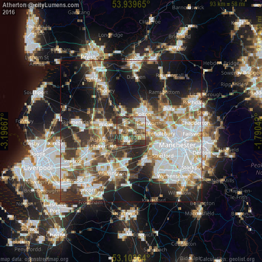
Analysis of Atherton night lights 2016
Square area 10x10 km:
 7.8%
7.8%90-99
10.58%80-89
10.19%70-79
8.6%60-69
10.98%50-59
12.43%40-49
19.18%30-39
13.76%20-29
6.48%10-19
0%0-9
0%Square area 50x50 km:
13.25%90-99
11.52%80-89
4.8%70-79
5.23%60-69
6.18%50-59
5.6%40-49
6.69%30-39
7.02%20-29
11.49%10-19
14.78%0-9
13.44%Clear (daylight) street map image can be seen on geolist.org.
Map coordinates:
53° 56' 22.7" North, 3° 11' 48" West
53° 31' 25.4" North, 2° 29' 36.7" West
53° 6' 13.1" North, 1° 47' 25.5" West
Some cities around Atherton sort by population:
• Leigh
3.5 km =2.2 mi,  209°
209°
• Walkden
6.2 km =3.9 mi,  97°
97°
• Tyldesley
2 km =1.2 mi,  122°
122°
• Westhoughton
3.5 km =2.2 mi,  323°
323°
• Farnworth
6.8 km =4.2 mi,  64°
64°
• Hindley
6 km =3.7 mi,  280°
280°
• Little Hulton
5.2 km =3.2 mi,  78°
78°
• Abram
6.8 km =4.2 mi,  255°
255°
2656847 (p: 20,149)
Sources (retrieved 2019-11-25):
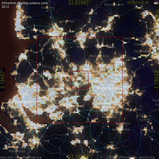
» Earth at Night: Flat Maps 2012, 2016