Eccles night lights from space
Night Light of Eccles (England) from space (United Kingdom) Src. Average luminocity for 10x10km area is 88.8466% and for 50x50km: 45.8591%.
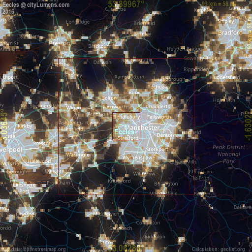
Analysis of Eccles night lights 2016
Square area 10x10 km:
100  38.89%
90-99 25.26%
80-89 10.85%
70-79 10.71%
60-69 8.47%
50-59 2.38%
40-49 2.38%
30-39 1.06%
20-29 0%
10-19 0%
0-9 0%
38.89%90-99
25.26%80-89
10.85%70-79
10.71%60-69
8.47%50-59
2.38%40-49
2.38%30-39
1.06%20-29
0%10-19
0%0-9
0%Square area 50x50 km:
100 11.97%
90-99 9.99%
80-89 4.76%
70-79 4.85%
60-69 5.63%
50-59 5.55%
40-49 6.19%
30-39 5.95%
20-29 9.56%
10-19 14.87%
0-9 20.7%
11.97%90-99
9.99%80-89
4.76%70-79
4.85%60-69
5.63%50-59
5.55%40-49
6.19%30-39
5.95%20-29
9.56%10-19
14.87%0-9
20.7%Clear (daylight) street map image can be seen on geolist.org.
Map coordinates:
53° 53' 58.8" North, 3° 2' 11.2" West
53° 28' 60" North, 2° 19' 60" West
53° 3' 46.3" North, 1° 37' 48.7" West
Some cities around Eccles sort by population:
• Manchester
6.4 km =4 mi,  92°
92°
• Salford
2.9 km =1.8 mi,  80°
80°
• Stretford
3.9 km =2.4 mi,  163°
163°
• Urmston
4.1 km =2.5 mi,  199°
199°
• Walkden
5.8 km =3.6 mi,  310°
310°
• Prestwich
6.5 km =4 mi,  30°
30°
• Swinton
2.2 km =1.4 mi,  329°
329°
• Hulme
5.9 km =3.7 mi,  109°
109°
2650278 (p: 37,275)
Sources (retrieved 2019-11-25):
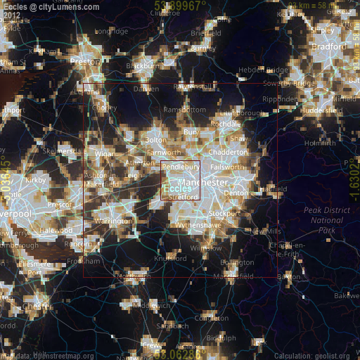
» Earth at Night: Flat Maps 2012, 2016