Swinton night lights from space
Night Light of Swinton (England) from space (United Kingdom) Src. Average luminocity for 10x10km area is 82.3347% and for 50x50km: 47.1873%.
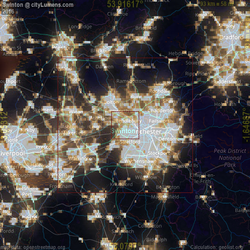
Analysis of Swinton night lights 2016
Square area 10x10 km:
 27.25%
90-99
22.22%80-89
13.1%70-79
14.42%60-69
8.47%50-59
3.97%40-49
4.23%30-39
6.08%20-29
0.26%10-19
0%0-9
0%Square area 50x50 km:
12.31%90-99
10.42%80-89
4.74%70-79
4.93%60-69
5.81%50-59
5.73%40-49
6.36%30-39
6.06%20-29
10.07%10-19
15.63%0-9
17.93%Clear (daylight) street map image can be seen on geolist.org.
Map coordinates:
53° 54' 58.2" North, 3° 3' 11.2" West
53° 30' 0" North, 2° 21' 0" West
53° 4' 46.9" North, 1° 38' 48.7" West
Some cities around Swinton sort by population:
• Salford
4.2 km =2.6 mi,  109°
109°
• Stretford
6 km =3.7 mi,  158°
158°
• Urmston
5.7 km =3.5 mi,  182°
182°
• Eccles
2.2 km =1.4 mi,  149°
149°
• Walkden
3.8 km =2.4 mi,  299°
299°
• Prestwich
5.8 km =3.6 mi,  49°
49°
• Little Hulton
5.8 km =3.6 mi,  310°
310°
• Kearsley
4.3 km =2.7 mi,  329°
329°
2636373 (p: 20,000)
Sources (retrieved 2019-11-25):
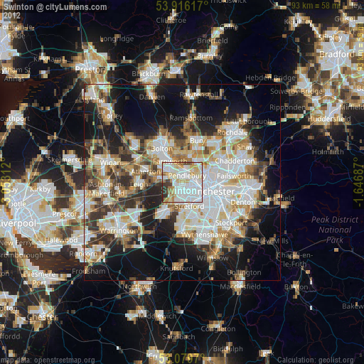
» Earth at Night: Flat Maps 2012, 2016