Urmston night lights from space
Night Light of Urmston (England) from space (United Kingdom) Src. Average luminocity for 10x10km area is 82.1971% and for 50x50km: 46.8311%.
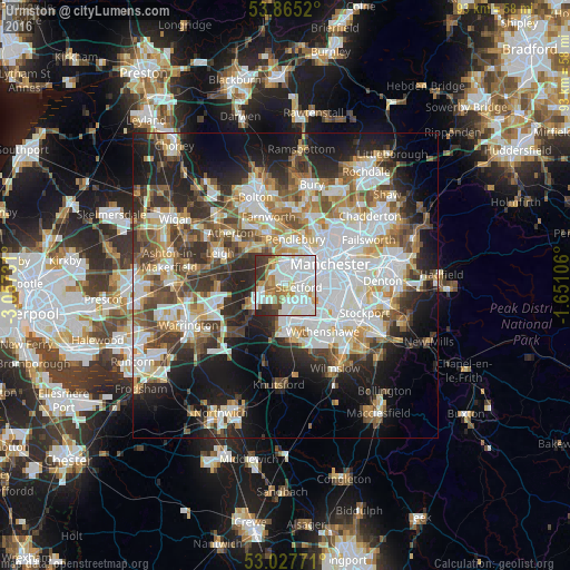
Analysis of Urmston night lights 2016
Square area 10x10 km:
 32.54%
90-99
28.31%80-89
5.69%70-79
7.14%60-69
6.75%50-59
4.63%40-49
3.04%30-39
8.86%20-29
3.04%10-19
0%0-9
0%Square area 50x50 km:
12.29%90-99
10.37%80-89
4.9%70-79
4.98%60-69
5.7%50-59
5.62%40-49
6.21%30-39
6.18%20-29
9.84%10-19
14.21%0-9
19.68%Clear (daylight) street map image can be seen on geolist.org.
Map coordinates:
53° 51' 54.7" North, 3° 3' 26.3" West
53° 26' 54.7" North, 2° 21' 15.1" West
53° 1' 39.8" North, 1° 39' 3.8" West
Some cities around Urmston sort by population:
• Salford
6.1 km =3.8 mi,  44°
44°
• Sale
3.3 km =2.1 mi,  142°
142°
• Stretford
2.5 km =1.6 mi,  86°
86°
• Eccles
4.1 km =2.5 mi,  19°
19°
• Swinton
5.7 km =3.5 mi,  2°
2°
• Irlam
4.6 km =2.9 mi,  261°
261°
• Timperley
5.6 km =3.5 mi,  165°
165°
• Partington
5.9 km =3.7 mi,  236°
236°
2635062 (p: 41,198)
Sources (retrieved 2019-11-25):
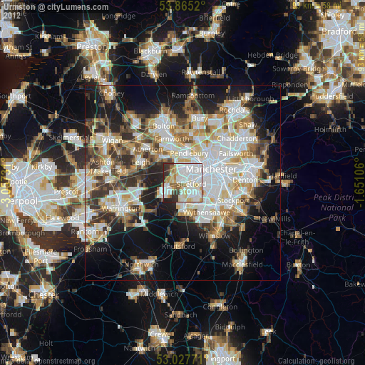
» Earth at Night: Flat Maps 2012, 2016