Sale night lights from space
Night Light of Sale (England) from space (United Kingdom) Src. Average luminocity for 10x10km area is 87.9272% and for 50x50km: 44.5755%.
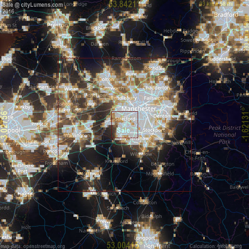
Analysis of Sale night lights 2016
Square area 10x10 km:
 38.89%
90-99
32.8%80-89
4.63%70-79
6.22%60-69
6.22%50-59
3.31%40-49
1.72%30-39
4.1%20-29
2.12%10-19
0%0-9
0%Square area 50x50 km:
11.78%90-99
9.9%80-89
4.68%70-79
4.67%60-69
5.4%50-59
5.36%40-49
6.01%30-39
5.89%20-29
9.42%10-19
12.42%0-9
24.47%Clear (daylight) street map image can be seen on geolist.org.
Map coordinates:
53° 50' 31.6" North, 3° 1' 39.2" West
53° 25' 30.7" North, 2° 19' 27.9" West
53° 0' 14.9" North, 1° 37' 16.7" West
Some cities around Sale sort by population:
• Stretford
2.8 km =1.7 mi,  10°
10°
• Altrincham
4.5 km =2.8 mi,  200°
200°
• Urmston
3.3 km =2.1 mi,  322°
322°
• Eccles
6.5 km =4 mi,  354°
354°
• Hale
5.2 km =3.2 mi,  186°
186°
• Didsbury
6.2 km =3.9 mi,  98°
98°
• Timperley
2.9 km =1.8 mi, 191°
• Bowdon
6.1 km =3.8 mi,  206°
206°
2638678 (p: 55,689)
Sources (retrieved 2019-11-25):
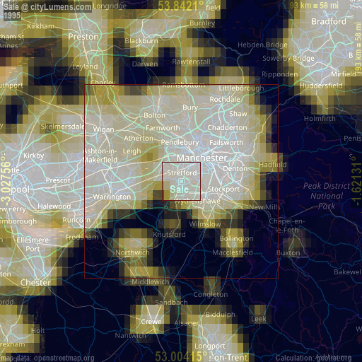
» NASA, Earths city lights 1995
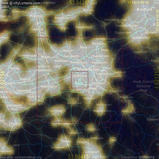
» NASA city lights 2003
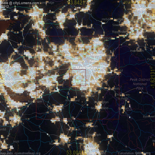
» Earth at Night: Flat Maps 2012, 2016