Leigh night lights from space
Night Light of Leigh (England) from space (United Kingdom) Src. Average luminocity for 10x10km area is 49.5992% and for 50x50km: 49.3425%.
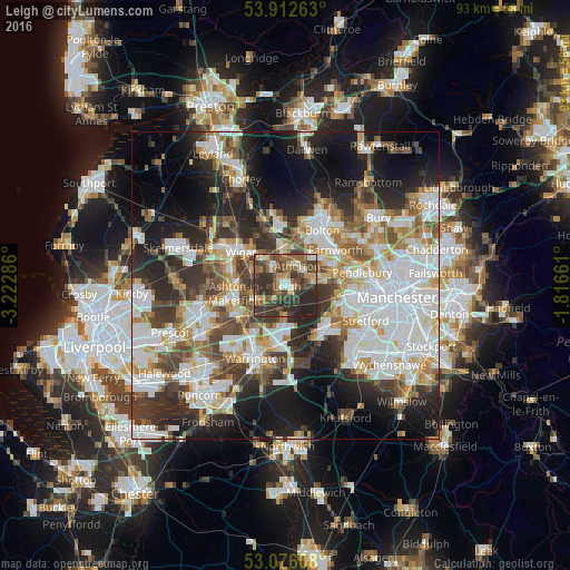
Analysis of Leigh night lights 2016
Square area 10x10 km:
 3.7%
3.7%90-99
5.42%80-89
5.69%70-79
6.22%60-69
8.33%50-59
10.32%40-49
19.71%30-39
19.44%20-29
20.5%10-19
0.66%0-9
0%Square area 50x50 km:
13.27%90-99
11.3%80-89
4.52%70-79
4.92%60-69
5.88%50-59
5.35%40-49
6.49%30-39
7.21%20-29
11.65%10-19
14.98%0-9
14.43%Clear (daylight) street map image can be seen on geolist.org.
Map coordinates:
53° 54' 45.5" North, 3° 13' 22.3" West
53° 29' 47.1" North, 2° 31' 11" West
53° 4' 33.9" North, 1° 48' 59.8" West
Some cities around Leigh sort by population:
• Tyldesley
4 km =2.5 mi,  60°
60°
• Westhoughton
5.9 km =3.7 mi,  356°
356°
• Hindley
5.9 km =3.7 mi,  314°
314°
• Golborne
5.5 km =3.4 mi,  246°
246°
• Newton-le-Willows
7.4 km =4.6 mi,  225°
225°
• Atherton
3.5 km =2.2 mi,  29°
29°
• Abram
5 km =3.1 mi,  285°
285°
• Culcheth
5 km =3.1 mi,  180°
180°
2644660 (p: 43,626)
Sources (retrieved 2019-11-25):
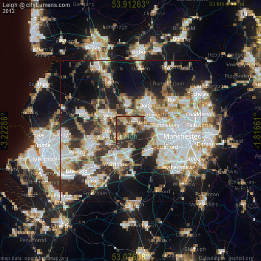
» Earth at Night: Flat Maps 2012, 2016