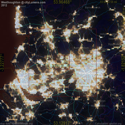
Westhoughton night lights from space
Night Light of Westhoughton (England) from space (United Kingdom) Src. Average luminocity for 10x10km area is 58.4709% and for 50x50km: 50.6344%.
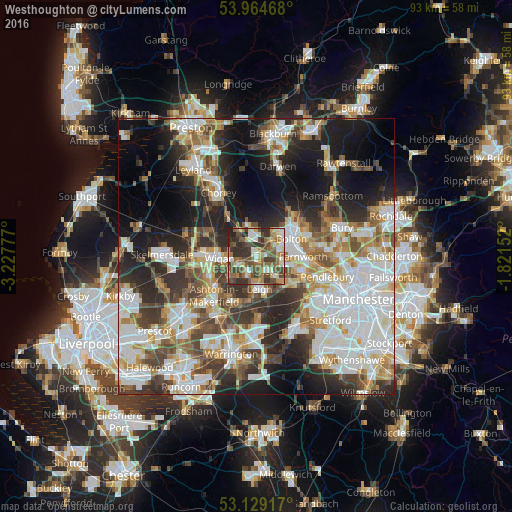
Analysis of Westhoughton night lights 2016
Square area 10x10 km:
 5.16%
5.16%90-99
10.98%80-89
8.2%70-79
7.8%60-69
11.24%50-59
13.1%40-49
19.18%30-39
13.49%20-29
10.58%10-19
0.26%0-9
0%Square area 50x50 km:
13.49%90-99
11.77%80-89
4.63%70-79
5.31%60-69
6.41%50-59
5.6%40-49
6.73%30-39
7%20-29
10.93%10-19
14.1%0-9
14.02%Clear (daylight) street map image can be seen on geolist.org.
Map coordinates:
53° 57' 52.8" North, 3° 13' 40" West
53° 32' 56.4" North, 2° 31' 28.7" West
53° 7' 45" North, 1° 49' 17.5" West
Some cities around Westhoughton sort by population:
• Leigh
5.9 km =3.7 mi,  176°
176°
• Tyldesley
5.4 km =3.4 mi,  135°
135°
• Hindley
4.3 km =2.7 mi,  245°
245°
• Atherton
3.5 km =2.2 mi, 143°
• Horwich
6 km =3.7 mi,  344°
344°
• Ince-in-Makerfield
6.3 km =3.9 mi, 254°
• Abram
6.4 km =4 mi,  224°
224°
• Blackrod
6.1 km =3.8 mi,  322°
322°
2634387 (p: 26,260)
Sources (retrieved 2019-11-25):
» Earth at Night: Flat Maps 2012, 2016