Tunstall night lights from space
Night Light of Tunstall (England) from space (United Kingdom) Src. Average luminocity for 10x10km area is 71.2831% and for 50x50km: 13.8576%.
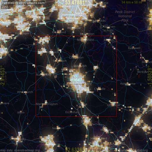
Analysis of Tunstall night lights 2016
Square area 10x10 km:
 25.13%
90-99
19.97%80-89
9.52%70-79
3.57%60-69
4.89%50-59
8.2%40-49
6.48%30-39
5.42%20-29
12.83%10-19
3.97%0-9
0%Square area 50x50 km:
2.58%90-99
2.51%80-89
1.39%70-79
1.19%60-69
1.39%50-59
1.84%40-49
1.67%30-39
1.81%20-29
3.66%10-19
10.62%0-9
71.34%Clear (daylight) street map image can be seen on geolist.org.
Map coordinates:
53° 28' 43.7" North, 2° 54' 52.3" West
53° 3' 29.9" North, 2° 12' 41" West
52° 38' 1.1" North, 1° 30' 29.8" West
Some cities around Tunstall sort by population:
• Stoke-on-Trent
6.3 km =3.9 mi,  163°
163°
• Newcastle under Lyme
6.6 km =4.1 mi,  192°
192°
• Kidsgrove
3.6 km =2.2 mi,  331°
331°
• Congleton
11.7 km =7.3 mi,  359°
359°
• Biddulph
7 km =4.3 mi,  19°
19°
• Alsager
7.6 km =4.7 mi,  303°
303°
• Longton
9.8 km =6.1 mi,  147°
147°
• Audley
6 km =3.7 mi,  261°
261°
11919597 (p: 6,232)
Sources (retrieved 2019-11-25):
» Earth at Night: Flat Maps 2012, 2016