Longton night lights from space
Night Light of Longton (England) from space (United Kingdom) Src. Average luminocity for 10x10km area is 60.8016% and for 50x50km: 12.6532%.
Analysis of Longton night lights 2016
Square area 10x10 km:
 22.35%
90-99
18.25%80-89
4.37%70-79
3.04%60-69
3.31%50-59
4.23%40-49
2.51%30-39
10.32%20-29
13.1%10-19
15.48%0-9
3.04%Square area 50x50 km:
2.42%90-99
2.36%80-89
1.21%70-79
1.09%60-69
1.36%50-59
1.57%40-49
1.57%30-39
1.65%20-29
2.83%10-19
9.79%0-9
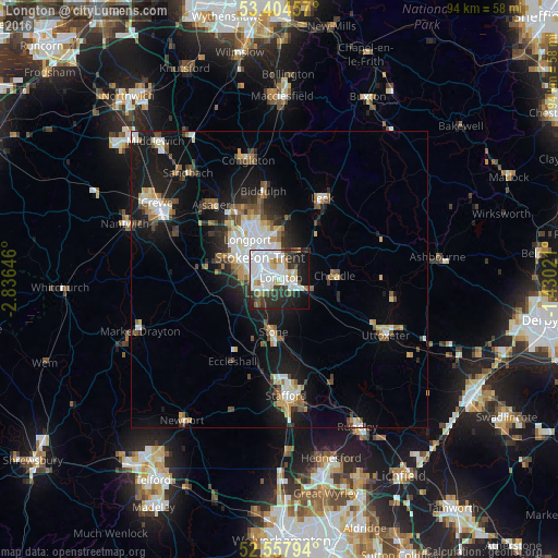
74.14%Clear (daylight) street map image can be seen on geolist.org.
Map coordinates:
53° 24' 16.5" North, 2° 50' 11.3" West
52° 58' 60" North, 2° 7' 60" West
52° 33' 28.6" North, 1° 25' 48.8" West
Some cities around Longton sort by population:
• Stoke-on-Trent
4.2 km =2.6 mi,  303°
303°
• Newcastle under Lyme
6.9 km =4.3 mi,  285°
285°
• Kidsgrove
13.5 km =8.4 mi,  328°
328°
• Biddulph
15.2 km =9.4 mi,  349°
349°
• Stone
8.7 km =5.4 mi,  189°
189°
• Cheadle
10 km =6.2 mi,  90°
90°
• Tunstall
9.8 km =6.1 mi, 327°
• Audley
13.4 km =8.3 mi, 303°
2643620 (p: 12,794)
Sources (retrieved 2019-11-25):
» Earth at Night: Flat Maps 2012, 2016