Congleton night lights from space
Night Light of Congleton (England) from space (United Kingdom) Src. Average luminocity for 10x10km area is 10.048% and for 50x50km: 18.3201%.
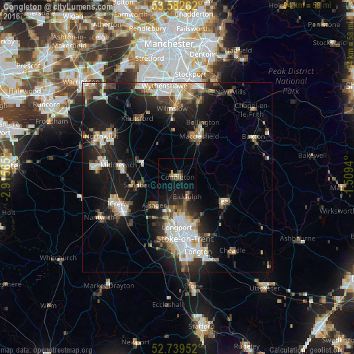
Analysis of Congleton night lights 2016
Square area 10x10 km:
 0.25%
0.25%90-99
0.51%80-89
1.01%70-79
0.88%60-69
1.26%50-59
1.89%40-49
2.65%30-39
1.39%20-29
0.51%10-19
14.77%0-9
74.87%Square area 50x50 km:
3.34%90-99
3.37%80-89
1.82%70-79
1.78%60-69
1.82%50-59
2.28%40-49
2.38%30-39
2.75%20-29
5.5%10-19
14.04%0-9
60.92%Clear (daylight) street map image can be seen on geolist.org.
Map coordinates:
53° 34' 57.4" North, 2° 54' 56.3" West
53° 9' 47.3" North, 2° 12' 45.1" West
52° 44' 22.3" North, 1° 30' 33.8" West
Some cities around Congleton sort by population:
• Macclesfield
12.2 km =7.6 mi,  28°
28°
• Kidsgrove
8.6 km =5.3 mi,  191°
191°
• Sandbach
10.2 km =6.3 mi,  258°
258°
• Biddulph
5.7 km =3.5 mi,  154°
154°
• Alsager
9.7 km =6 mi,  220°
220°
• Tunstall
11.7 km =7.3 mi,  179°
179°
• Audley
13.9 km =8.6 mi,  204°
204°
• Holmes Chapel
10.6 km =6.6 mi,  293°
293°
2652464 (p: 26,178)
Sources (retrieved 2019-11-25):
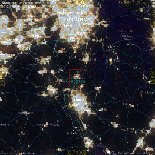
» Earth at Night: Flat Maps 2012, 2016