Kidsgrove night lights from space
Night Light of Kidsgrove (England) from space (United Kingdom) Src. Average luminocity for 10x10km area is 46.7156% and for 50x50km: 14.1615%.

Analysis of Kidsgrove night lights 2016
Square area 10x10 km:
 9.13%
9.13%90-99
8.99%80-89
7.14%70-79
3.31%60-69
4.5%50-59
9.52%40-49
7.67%30-39
5.42%20-29
14.55%10-19
21.96%0-9
7.8%Square area 50x50 km:
2.52%90-99
2.47%80-89
1.4%70-79
1.2%60-69
1.36%50-59
1.87%40-49
1.82%30-39
1.92%20-29
3.76%10-19
12.07%0-9
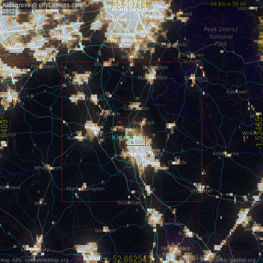
69.6%Clear (daylight) street map image can be seen on geolist.org.
Map coordinates:
53° 30' 25.7" North, 2° 56' 27.2" West
53° 5' 12.9" North, 2° 14' 16" West
52° 39' 45.1" North, 1° 32' 4.7" West
Some cities around Kidsgrove sort by population:
• Stoke-on-Trent
9.8 km =6.1 mi,  159°
159°
• Newcastle under Lyme
9.7 km =6 mi,  178°
178°
• Congleton
8.6 km =5.3 mi,  11°
11°
• Sandbach
10.5 km =6.5 mi,  307°
307°
• Biddulph
5.3 km =3.3 mi,  50°
50°
• Alsager
4.7 km =2.9 mi,  282°
282°
• Tunstall
3.6 km =2.2 mi,  151°
151°
• Audley
5.8 km =3.6 mi,  225°
225°
2645721 (p: 29,480)
Sources (retrieved 2019-11-25):
» Earth at Night: Flat Maps 2012, 2016