Audley night lights from space
Night Light of Audley (England) from space (United Kingdom) Src. Average luminocity for 10x10km area is 32.9762% and for 50x50km: 13.3832%.
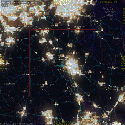
Analysis of Audley night lights 2016
Square area 10x10 km:
 4.89%
4.89%90-99
7.67%80-89
5.42%70-79
2.12%60-69
3.04%50-59
4.63%40-49
5.95%30-39
5.03%20-29
10.98%10-19
11.64%0-9
38.62%Square area 50x50 km:
2.55%90-99
2.54%80-89
1.27%70-79
1.04%60-69
1.3%50-59
1.71%40-49
1.67%30-39
1.83%20-29
3.54%10-19
10.48%0-9
72.07%Clear (daylight) street map image can be seen on geolist.org.
Map coordinates:
53° 28' 14.1" North, 3° 0' 11.3" West
53° 3' 0" North, 2° 18' 0" West
52° 37' 30.9" North, 1° 35' 48.8" West
Some cities around Audley sort by population:
• Stoke-on-Trent
9.2 km =5.7 mi,  123°
123°
• Newcastle under Lyme
7.1 km =4.4 mi,  141°
141°
• Crewe
10.9 km =6.8 mi,  299°
299°
• Kidsgrove
5.8 km =3.6 mi,  45°
45°
• Sandbach
11.4 km =7.1 mi,  338°
338°
• Biddulph
11.2 km =7 mi, 47°
• Alsager
5.2 km =3.2 mi,  355°
355°
• Tunstall
6 km =3.7 mi,  81°
81°
2656792 (p: 5,638)
Sources (retrieved 2019-11-25):
» Earth at Night: Flat Maps 2012, 2016