Newcastle under Lyme night lights from space
Night Light of Newcastle under Lyme (England) from space (United Kingdom) Src. Average luminocity for 10x10km area is 60.4577% and for 50x50km: 13.0261%.
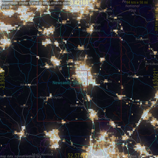
Analysis of Newcastle under Lyme night lights 2016
Square area 10x10 km:
 25.93%
90-99
16.01%80-89
2.91%70-79
2.78%60-69
6.61%50-59
3.04%40-49
3.7%30-39
5.42%20-29
10.98%10-19
12.83%0-9
9.79%Square area 50x50 km:
2.5%90-99
2.44%80-89
1.27%70-79
1.03%60-69
1.34%50-59
1.68%40-49
1.57%30-39
1.68%20-29
3.18%10-19
10.24%0-9
73.06%Clear (daylight) street map image can be seen on geolist.org.
Map coordinates:
53° 25' 15.9" North, 2° 56' 11.3" West
53° 0' 0" North, 2° 13' 60" West
52° 34' 29.2" North, 1° 31' 48.8" West
Some cities around Newcastle under Lyme sort by population:
• Stoke-on-Trent
3.2 km =2 mi,  81°
81°
• Kidsgrove
9.7 km =6 mi,  358°
358°
• Biddulph
13.6 km =8.5 mi,  16°
16°
• Stone
11.7 km =7.3 mi,  153°
153°
• Alsager
11.8 km =7.3 mi,  335°
335°
• Longton
6.9 km =4.3 mi,  105°
105°
• Tunstall
6.6 km =4.1 mi,  12°
12°
• Audley
7.1 km =4.4 mi,  321°
321°
2641674 (p: 75,794)
Sources (retrieved 2019-11-25):
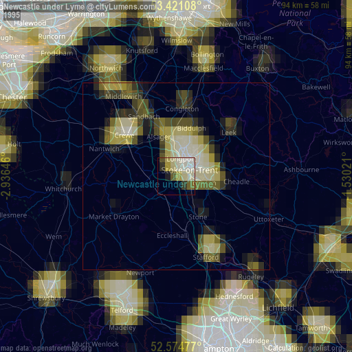
» NASA, Earths city lights 1995
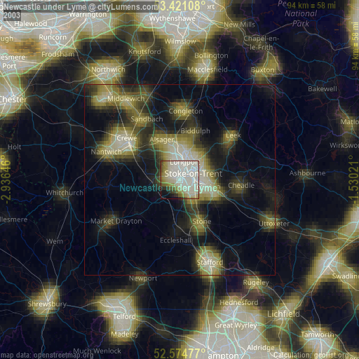
» NASA city lights 2003
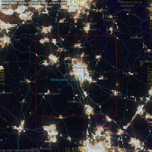
» Earth at Night: Flat Maps 2012, 2016