Tonbridge night lights from space
Night Light of Tonbridge (England) from space (United Kingdom) Src. Average luminocity for 10x10km area is 16.8168% and for 50x50km: 15.6005%.
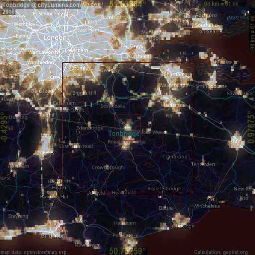
Analysis of Tonbridge night lights 2016
Square area 10x10 km:
 1.34%
1.34%90-99
1.34%80-89
2.14%70-79
0.67%60-69
2.54%50-59
3.88%40-49
1.87%30-39
5.35%20-29
2.41%10-19
17.65%0-9
60.83%Square area 50x50 km:
1.77%90-99
2.64%80-89
2.01%70-79
2.32%60-69
2.33%50-59
1.93%40-49
2.26%30-39
3.31%20-29
4.54%10-19
8.27%0-9
68.62%Clear (daylight) street map image can be seen on geolist.org.
Map coordinates:
51° 38' 1.8" North, 0° 25' 46.2" West
51° 11' 43.2" North, 0° 16' 25.1" East
50° 45' 9.3" North, 0° 58' 36.3" East
Some cities around Tonbridge sort by population:
• Royal Tunbridge Wells
6.9 km =4.3 mi,  186°
186°
• Sevenoaks
10.4 km =6.5 mi,  325°
325°
• Edenbridge
14.4 km =8.9 mi,  268°
268°
• Paddock Wood
7.7 km =4.8 mi,  101°
101°
• Otford
14.3 km =8.9 mi,  336°
336°
• Kemsing
12.7 km =7.9 mi,  345°
345°
• Pembury
6.7 km =4.2 mi,  149°
149°
• West Kingsdown
16.4 km =10.2 mi,  356°
356°
2635703 (p: 38,657)
Sources (retrieved 2019-11-25):
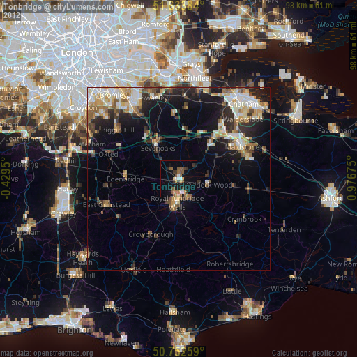
» Earth at Night: Flat Maps 2012, 2016