Royal Tunbridge Wells night lights from space
Night Light of Royal Tunbridge Wells (England) from space (United Kingdom) Src. Average luminocity for 10x10km area is 16.7393% and for 50x50km: 8.7863%.
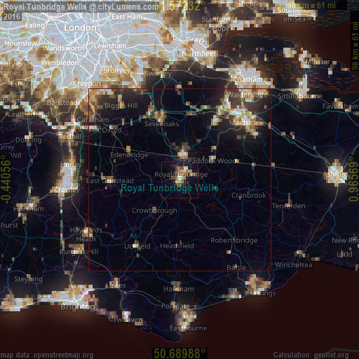
Analysis of Royal Tunbridge Wells night lights 2016
Square area 10x10 km:
 0.8%
0.8%90-99
1.07%80-89
1.6%70-79
3.07%60-69
3.61%50-59
2.41%40-49
3.88%30-39
2.67%20-29
2.01%10-19
16.31%0-9
62.57%Square area 50x50 km:
0.57%90-99
0.96%80-89
0.74%70-79
1.19%60-69
1.41%50-59
1.42%40-49
1.74%30-39
2.65%20-29
2.72%10-19
5.76%0-9
80.83%Clear (daylight) street map image can be seen on geolist.org.
Map coordinates:
51° 34' 20.4" North, 0° 26' 26" West
51° 7' 59.6" North, 0° 15' 45.2" East
50° 41' 23.6" North, 0° 57' 56.5" East
Some cities around Royal Tunbridge Wells sort by population:
• Tonbridge
6.9 km =4.3 mi,  6°
6°
• Sevenoaks
16.3 km =10.1 mi,  341°
341°
• East Grinstead
18.8 km =11.7 mi,  266°
266°
• Crowborough
10.6 km =6.6 mi,  220°
220°
• Edenbridge
15.1 km =9.4 mi,  295°
295°
• Paddock Wood
9.9 km =6.2 mi,  57°
57°
• Kemsing
19.4 km =12.1 mi,  353°
353°
• Pembury
4.3 km =2.7 mi,  75°
75°
2639022 (p: 68,910)
Sources (retrieved 2019-11-25):
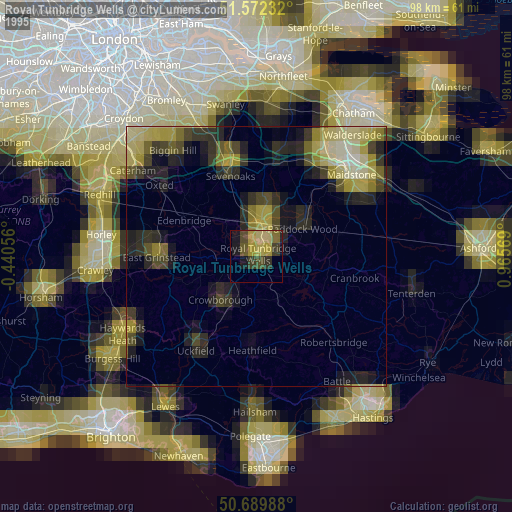
» NASA, Earths city lights 1995
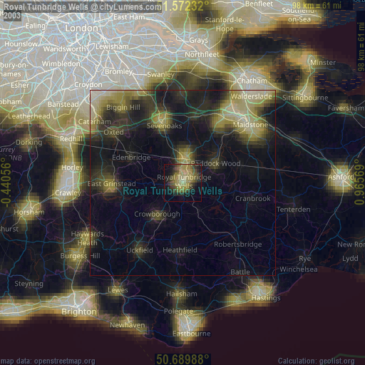
» NASA city lights 2003
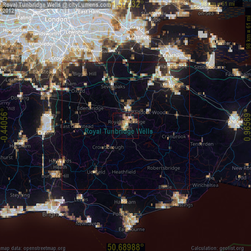
» Earth at Night: Flat Maps 2012, 2016