Sevenoaks night lights from space
Night Light of Sevenoaks (England) from space (United Kingdom) Src. Average luminocity for 10x10km area is 12.5% and for 50x50km: 31.8535%.
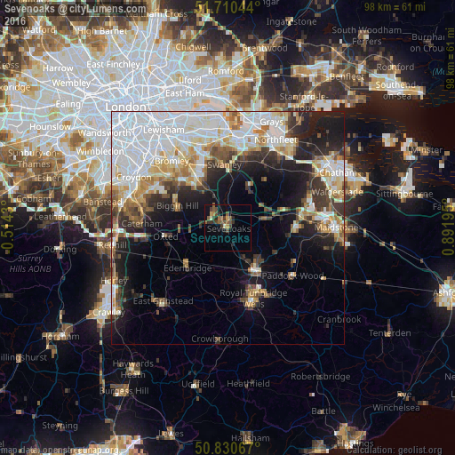
Analysis of Sevenoaks night lights 2016
Square area 10x10 km:
 0%
0%90-99
0.56%80-89
0.84%70-79
1.4%60-69
1.82%50-59
4.62%40-49
4.06%30-39
3.22%20-29
3.36%10-19
2.94%0-9
77.17%Square area 50x50 km:
10.13%90-99
6.68%80-89
3.3%70-79
3.27%60-69
3.26%50-59
2.74%40-49
2.93%30-39
3.8%20-29
5.63%10-19
10.87%0-9
47.38%Clear (daylight) street map image can be seen on geolist.org.
Map coordinates:
51° 42' 37.6" North, 0° 30' 51.5" West
51° 16' 21.6" North, 0° 11' 19.8" East
50° 49' 50.4" North, 0° 53' 31" East
Some cities around Sevenoaks sort by population:
• Tonbridge
10.4 km =6.5 mi,  145°
145°
• Orpington
13 km =8.1 mi,  330°
330°
• Biggin Hill
11.7 km =7.3 mi,  292°
292°
• Farnborough
12.7 km =7.9 mi,  319°
319°
• Edenbridge
12.4 km =7.7 mi,  223°
223°
• Otford
4.5 km =2.8 mi,  1°
1°
• Kemsing
4.7 km =2.9 mi,  37°
37°
• West Kingsdown
9.3 km =5.8 mi,  32°
32°
2638187 (p: 29,506)
Sources (retrieved 2019-11-25):
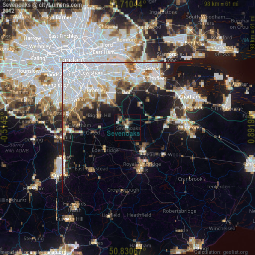
» Earth at Night: Flat Maps 2012, 2016