West Kingsdown night lights from space
Night Light of West Kingsdown (England) from space (United Kingdom) Src. Average luminocity for 10x10km area is 9.3333% and for 50x50km: 38.423%.
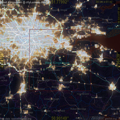
Analysis of West Kingsdown night lights 2016
Square area 10x10 km:
 0%
0%90-99
0.42%80-89
0.28%70-79
0%60-69
1.68%50-59
1.26%40-49
3.36%30-39
1.12%20-29
1.54%10-19
15.69%0-9
74.65%Square area 50x50 km:
12.62%90-99
7.91%80-89
3.94%70-79
3.81%60-69
3.93%50-59
3.27%40-49
3.86%30-39
4.63%20-29
7.51%10-19
11.47%0-9
37.03%Clear (daylight) street map image can be seen on geolist.org.
Map coordinates:
51° 46' 47.7" North, 0° 26' 30.7" West
51° 20' 34.1" North, 0° 15' 40.6" East
50° 54' 5.4" North, 0° 57' 51.8" East
Some cities around West Kingsdown sort by population:
• Sevenoaks
9.3 km =5.8 mi,  212°
212°
• Swanley
8.6 km =5.3 mi,  314°
314°
• Longfield
6.6 km =4.1 mi,  25°
25°
• Hartley
5.7 km =3.5 mi, 31°
• Orpington
11.9 km =7.4 mi,  287°
287°
• Otford
5.9 km =3.7 mi,  235°
235°
• Kemsing
4.7 km =2.9 mi, 208°
• Stone
12 km =7.5 mi,  1°
1°
10246613 (p: 5,484)
Sources (retrieved 2019-11-25):
» Earth at Night: Flat Maps 2012, 2016