Tidworth night lights from space
Night Light of Tidworth (England) from space (United Kingdom) Src. Average luminocity for 10x10km area is 9.3754% and for 50x50km: 3.7846%.
Analysis of Tidworth night lights 2016
Square area 10x10 km:
 1.4%
1.4%90-99
2.24%80-89
0.56%70-79
1.54%60-69
1.26%50-59
0.56%40-49
0.84%30-39
0.28%20-29
0%10-19
0%0-9
91.32%Square area 50x50 km:
0.37%90-99
0.62%80-89
0.34%70-79
0.4%60-69
0.59%50-59
0.6%40-49
0.45%30-39
0.5%20-29
0.42%10-19
1.48%0-9
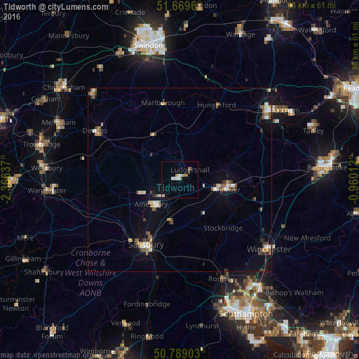
94.22%Clear (daylight) street map image can be seen on geolist.org.
Map coordinates:
51° 40' 10.6" North, 2° 21' 58.9" West
51° 13' 53.1" North, 1° 39' 47.7" West
50° 47' 20.5" North, 0° 57' 36.4" West
Some cities around Tidworth sort by population:
• Salisbury
20.3 km =12.6 mi,  207°
207°
• Andover
12 km =7.5 mi,  100°
100°
• Devizes
26.6 km =16.5 mi,  299°
299°
• Romsey
29.3 km =18.2 mi,  157°
157°
• Amesbury
10.3 km =6.4 mi,  232°
232°
• Bulford
8.2 km =5.1 mi,  235°
235°
• Marlborough
21.5 km =13.4 mi,  347°
347°
• Hungerford
22.9 km =14.2 mi,  26°
26°
2637310 (p: 9,174)
Sources (retrieved 2019-11-25):
» Earth at Night: Flat Maps 2012, 2016