Hungerford night lights from space
Night Light of Hungerford (England) from space (United Kingdom) Src. Average luminocity for 10x10km area is 0.8302% and for 50x50km: 7.118%.
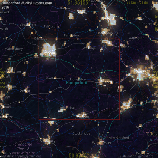
Analysis of Hungerford night lights 2016
Square area 10x10 km:
 0%
0%90-99
0%80-89
0%70-79
0%60-69
0.53%50-59
0.27%40-49
0.27%30-39
0.53%20-29
0%10-19
0%0-9
98.4%Square area 50x50 km:
1.33%90-99
1.7%80-89
0.46%70-79
0.53%60-69
0.82%50-59
0.64%40-49
0.65%30-39
0.71%20-29
1.61%10-19
4.95%0-9
86.6%Clear (daylight) street map image can be seen on geolist.org.
Map coordinates:
51° 51' 5.6" North, 2° 13' 7.2" West
51° 24' 54.5" North, 1° 30' 56" West
50° 58' 28.2" North, 0° 48' 44.7" West
Some cities around Hungerford sort by population:
• Andover
22.7 km =14.1 mi,  176°
176°
• Newbury
13.3 km =8.3 mi,  96°
96°
• Thatcham
17.7 km =11 mi,  94°
94°
• Wantage
20.3 km =12.6 mi,  17°
17°
• Grove
22.6 km =14 mi, 16°
• Tidworth
22.9 km =14.2 mi,  206°
206°
• Marlborough
14.8 km =9.2 mi,  272°
272°
• West Ilsley
19.2 km =11.9 mi,  43°
43°
2646411 (p: 5,100)
Sources (retrieved 2019-11-25):
» Earth at Night: Flat Maps 2012, 2016