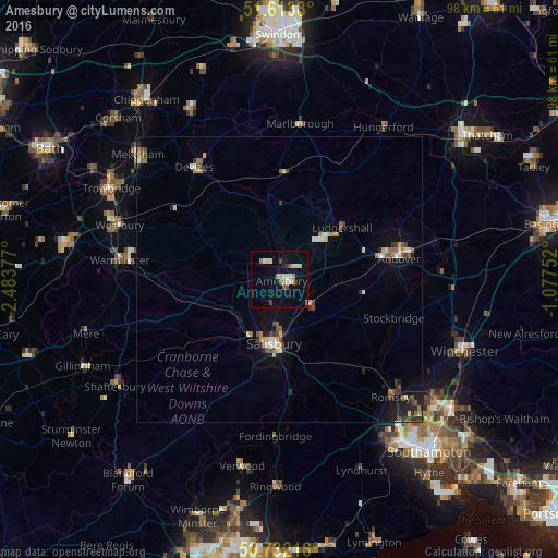
Amesbury night lights from space
Night Light of Amesbury (England) from space (United Kingdom) Src. Average luminocity for 10x10km area is 14.2059% and for 50x50km: 3.281%.
Analysis of Amesbury night lights 2016
Square area 10x10 km:
 1.2%
1.2%90-99
3.34%80-89
1.47%70-79
1.6%60-69
2.54%50-59
0.8%40-49
1.6%30-39
0.53%20-29
0.53%10-19
3.74%0-9
82.62%Square area 50x50 km:
0.3%90-99
0.48%80-89
0.24%70-79
0.37%60-69
0.48%50-59
0.57%40-49
0.41%30-39
0.47%20-29
0.61%10-19
1.38%0-9
94.68%Clear (daylight) street map image can be seen on geolist.org.
Map coordinates:
51° 36' 49.7" North, 2° 29' 1.6" West
51° 10' 30.3" North, 1° 46' 50.3" West
50° 43' 55.8" North, 1° 4' 39.1" West
Some cities around Amesbury sort by population:
• Salisbury
11.8 km =7.3 mi,  185°
185°
• Andover
20.4 km =12.7 mi,  78°
78°
• Devizes
24.5 km =15.2 mi,  322°
322°
• Warminster
27.9 km =17.3 mi,  276°
276°
• Bulford
2.1 km =1.3 mi,  42°
42°
• Tidworth
10.3 km =6.4 mi,  52°
52°
• Marlborough
27.5 km =17.1 mi,  7°
7°
• Fordingbridge
27.5 km =17.1 mi,  181°
181°
2657355 (p: 10,116)
Sources (retrieved 2019-11-25):
» Earth at Night: Flat Maps 2012, 2016