Salisbury night lights from space
Night Light of Salisbury (England) from space (United Kingdom) Src. Average luminocity for 10x10km area is 16.7246% and for 50x50km: 4.2138%.
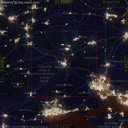
Analysis of Salisbury night lights 2016
Square area 10x10 km:
 1.47%
1.47%90-99
2.01%80-89
2.67%70-79
2.67%60-69
1.87%50-59
3.21%40-49
2.14%30-39
0.8%20-29
2.81%10-19
10.03%0-9
70.32%Square area 50x50 km:
0.5%90-99
0.67%80-89
0.36%70-79
0.39%60-69
0.61%50-59
0.61%40-49
0.6%30-39
0.57%20-29
0.93%10-19
1.95%0-9
92.81%Clear (daylight) street map image can be seen on geolist.org.
Map coordinates:
51° 30' 32.5" North, 2° 29' 55.8" West
51° 4' 9.5" North, 1° 47' 44.5" West
50° 37' 31.3" North, 1° 5' 33.3" West
Some cities around Salisbury sort by population:
• Andover
26.3 km =16.3 mi,  53°
53°
• Romsey
22.5 km =14 mi,  113°
113°
• Ringwood
24.9 km =15.5 mi,  178°
178°
• Verwood
22.1 km =13.7 mi,  193°
193°
• Amesbury
11.8 km =7.3 mi,  5°
5°
• Bulford
13.6 km =8.5 mi, 10°
• Tidworth
20.3 km =12.6 mi,  27°
27°
• Fordingbridge
15.8 km =9.8 mi, 178°
2638664 (p: 44,748)
Sources (retrieved 2019-11-25):
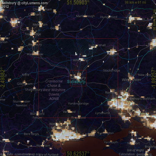
» Earth at Night: Flat Maps 2012, 2016