Romsey night lights from space
Night Light of Romsey (England) from space (United Kingdom) Src. Average luminocity for 10x10km area is 12.0976% and for 50x50km: 10.3803%.
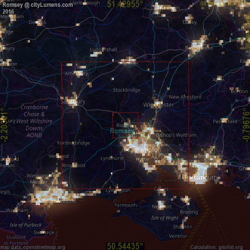
Analysis of Romsey night lights 2016
Square area 10x10 km:
 0.27%
0.27%90-99
0.8%80-89
0.67%70-79
0.13%60-69
0.53%50-59
3.74%40-49
2.81%30-39
4.68%20-29
7.22%10-19
15.37%0-9
63.77%Square area 50x50 km:
1.11%90-99
1.52%80-89
0.76%70-79
1.02%60-69
1.53%50-59
1.88%40-49
1.87%30-39
2.26%20-29
2.99%10-19
7.15%0-9
77.9%Clear (daylight) street map image can be seen on geolist.org.
Map coordinates:
51° 25' 46.4" North, 2° 12' 10.8" West
50° 59' 20.6" North, 1° 29' 59.6" West
50° 32' 39.7" North, 0° 47' 48.3" West
Some cities around Romsey sort by population:
• Southampton
11.6 km =7.2 mi,  144°
144°
• Eastleigh
10.8 km =6.7 mi,  103°
103°
• Winchester
15.2 km =9.4 mi,  56°
56°
• Totton
7.8 km =4.8 mi,  175°
175°
• Hythe
15.9 km =9.9 mi,  154°
154°
• Bishopstoke
12.3 km =7.6 mi, 101°
• North Baddesley
4 km =2.5 mi,  108°
108°
• Marchwood
11.5 km =7.1 mi,  163°
163°
2639189 (p: 17,161)
Sources (retrieved 2019-11-25):
» Earth at Night: Flat Maps 2012, 2016