Beckenham night lights from space
Night Light of Beckenham (England) from space (United Kingdom) Src. Average luminocity for 10x10km area is 91.2871% and for 50x50km: 60.3686%.
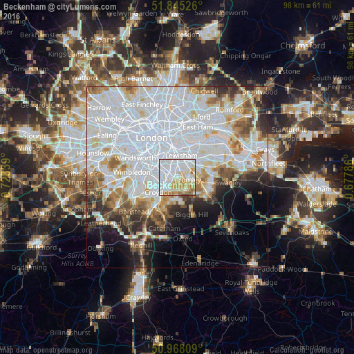
Analysis of Beckenham night lights 2016
Square area 10x10 km:
 37.25%
90-99
29.41%80-89
16.25%70-79
8.96%60-69
6.72%50-59
1.4%40-49
0%30-39
0%20-29
0%10-19
0%0-9
0%Square area 50x50 km:
26.68%90-99
14.75%80-89
5.32%70-79
4.41%60-69
5.09%50-59
4.53%40-49
3.77%30-39
3.9%20-29
5.34%10-19
6.36%0-9
19.85%Clear (daylight) street map image can be seen on geolist.org.
Map coordinates:
51° 50' 42.9" North, 0° 43' 42.2" West
51° 24' 31.6" North, 0° 1' 30.9" West
50° 58' 5.1" North, 0° 40' 40.3" East
Some cities around Beckenham sort by population:
• Croydon
5.9 km =3.7 mi,  241°
241°
• Peckham
7.9 km =4.9 mi,  337°
337°
• South Croydon
7.1 km =4.4 mi,  222°
222°
• Blackheath
6.6 km =4.1 mi,  20°
20°
• Chislehurst
6.6 km =4.1 mi,  81°
81°
• Thornton Heath
5.2 km =3.2 mi,  257°
257°
• West Wickham
4.7 km =2.9 mi,  172°
172°
• Shortlands
2.3 km =1.4 mi,  117°
117°
2656065 (p: 82,000)
Sources (retrieved 2019-11-25):
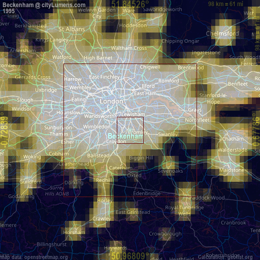
» NASA, Earths city lights 1995
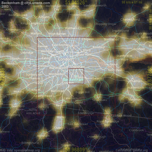
» NASA city lights 2003
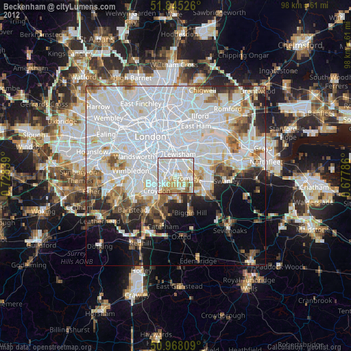
» Earth at Night: Flat Maps 2012, 2016