Tenterden night lights from space
Night Light of Tenterden (England) from space (United Kingdom) Src. Average luminocity for 10x10km area is 1.4612% and for 50x50km: 4.9998%.
Analysis of Tenterden night lights 2016
Square area 10x10 km:
 0%
0%90-99
0%80-89
0%70-79
0%60-69
0%50-59
1.07%40-49
0%30-39
1.07%20-29
0.94%10-19
0.67%0-9
96.26%Square area 50x50 km:
0.44%90-99
0.73%80-89
0.33%70-79
0.79%60-69
0.75%50-59
0.69%40-49
0.69%30-39
0.88%20-29
1.29%10-19
4%0-9
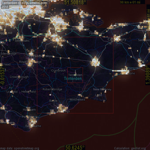
89.4%Clear (daylight) street map image can be seen on geolist.org.
Map coordinates:
51° 30' 29.4" North, 0° 0' 55.3" West
51° 4' 6.4" North, 0° 41' 15.9" East
50° 37' 28.2" North, 1° 23' 27.2" East
Some cities around Tenterden sort by population:
• Hastings
25 km =15.5 mi,  198°
198°
• Maidstone
25.1 km =15.6 mi,  331°
331°
• Ashford
15.6 km =9.7 mi,  56°
56°
• Saint Leonards-on-Sea
25.7 km =16 mi, 202°
• New Romney
20 km =12.4 mi,  117°
117°
• Paddock Wood
24.8 km =15.4 mi,  300°
300°
• Battle
22 km =13.7 mi,  220°
220°
• Staplehurst
14 km =8.7 mi,  317°
317°
2636101 (p: 7,118)
Sources (retrieved 2019-11-25):
» Earth at Night: Flat Maps 2012, 2016